Earthquake MOLUCCA SEA
Thu, 31 Aug 2017 22:57:40 GMT
Time8 years ago
Location
-0.1900, 125.2300
Depth
60.0 KM
Event Summary
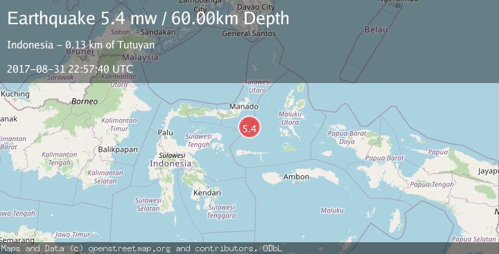
A 5.4 magnitude earthquake struck on MOLUCCA SEA, at Thu, 31 Aug 2017 22:57:40 GMT. Depth: 60km. Reviewed by EMSC seismologists, this moderate quake occurred at a magnitude type of mw.
Magnitude
5.4
mw
Source
EMSC
Intensity
-
Agency Reports
1 Sources| Source | Magnitude | Depth | Time |
|---|---|---|---|
| EMSCPrimary | 5.4 | 60 km | 8 years ago |
Earthquake Details
AutomaticEvent IDemsc_EMSC_20170831_0000085
Tsunami PotentialNo
Magnitude Typemw
Nearest Places
- Batu Mandi107.4 km
- Tanjung Flesko108.6 km
- Tanjung Palureoi109.1 km
- Pulau Lampu109.7 km
- Tanjung Payongan109.8 km
Comments
Join the discussion about this event.
Latest Earthquakes
2.6Mag
Java, Indonesia
Time11 minutes ago
Depth214.22 km
SourceBMKG
1.0Mag
Southeastern Alaska
Time11 minutes ago
Depth0.00 km
SourceVYT (Automatic)
3.5Mag
COOK STRAIT, NEW ZEALAND
Time12 minutes ago
Depth75.30 km
SourceGNS (Automatic)
2.5Mag
Seram, Indonesia
Time14 minutes ago
Depth21.28 km
SourceBMKG
2.6Mag
West Papua Region, Indonesia
Time17 minutes ago
Depth17.35 km
SourceBMKG
Nearby Earthquakes
5.1Mag
MOLUCCA SEA
Time4 years ago
Depth60.00 km
SourceEMSC (Automatic)
5.3Mag
MOLUCCA SEA
Time5 years ago
Depth48.00 km
SourceEMSC (Automatic)
5.6Mag
MOLUCCA SEA
Time19 years ago
Depth30.00 km
SourceEMSC (Automatic)
4.6Mag
Southern Molucca Sea
Time3 weeks ago
Depth10.00 km
SourceBMKG (Automatic)
6.0Mag
MOLUCCA SEA
Time18 years ago
Depth50.00 km
SourceEMSC (Automatic)