Earthquake SOUTHERN SUMATRA, INDONESIA
Sat, 30 Jan 2021 10:52:32 GMT
Time5 years ago
Location
-4.4400, 102.6300
Depth
60.0 KM
Event Summary
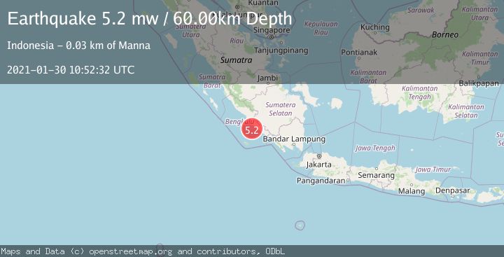
A 5.2 magnitude earthquake struck on SOUTHERN SUMATRA, INDONESIA, at Sat, 30 Jan 2021 10:52:32 GMT. Depth: 60km. Reviewed by EMSC seismologists, this moderate quake occurred at a magnitude type of mw.
Magnitude
5.2
mw
Source
EMSC
Intensity
-
Agency Reports
1 Sources| Source | Magnitude | Depth | Time |
|---|---|---|---|
| EMSCPrimary | 5.2 | 60 km | 5 years ago |
Earthquake Details
AutomaticEvent IDemsc_EMSC_20210130_0000080
Tsunami PotentialNo
Magnitude Typemw
Nearest Places
- Air Pering18.7 km
- Pasaralas18.8 km
- Air Alas18.8 km
- Desa Tedunan18.8 km
- Desa Genting Juar19.0 km
Comments
Join the discussion about this event.
Latest Earthquakes
1.7Mag
Alaska Peninsula
Time1 minute ago
Depth0.00 km
SourceVYT (Automatic)
1.4Mag
Kenai Peninsula, Alaska
Time4 minutes ago
Depth1.95 km
SourceVYT (Automatic)
3.1Mag
Northern Sumatra, Indonesia
Time5 minutes ago
Depth14.69 km
SourceBMKG
1.9Mag
Channel Islands region, California
Time5 minutes ago
Depth2.81 km
SourceVYT (Automatic)
3.3Mag
Southern Alaska
Time12 minutes ago
Depth13.06 km
SourceVYT (Automatic)
Nearby Earthquakes
3.0Mag
SOUTHERN SUMATRA, INDONESIA
Time2 years ago
Depth40.00 km
SourceBMKG (Automatic)
5.2Mag
SOUTHERN SUMATRA, INDONESIA
Time1 year ago
Depth59.00 km
SourceEMSC (Automatic)
5.0Mag
SOUTHERN SUMATRA, INDONESIA
Time4 years ago
Depth60.00 km
SourceEMSC (Automatic)
5.4Mag
SOUTHERN SUMATRA, INDONESIA
Time13 years ago
Depth60.00 km
SourceEMSC (Automatic)
3.0Mag
SOUTHERN SUMATRA, INDONESIA
Time2 years ago
Depth39.00 km
SourceDJA (Automatic)