Earthquake KEPULAUAN KAI, INDONESIA
Sun, 31 Jan 2021 09:44:41 GMT
Time5 years ago
Location
-5.6300, 133.7500
Depth
10.0 KM
Event Summary
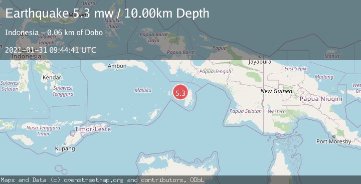
A 5.3 magnitude earthquake struck on KEPULAUAN KAI, INDONESIA, at Sun, 31 Jan 2021 09:44:41 GMT. Depth: 10km. Reviewed by EMSC seismologists, this moderate quake occurred at a magnitude type of mw.
Magnitude
5.3
mw
Source
EMSC
Intensity
-
Agency Reports
1 Sources| Source | Magnitude | Depth | Time |
|---|---|---|---|
| EMSCPrimary | 5.3 | 10 km | 5 years ago |
Earthquake Details
AutomaticEvent IDemsc_EMSC_20210131_0000069
Tsunami PotentialNo
Magnitude Typemw
Nearest Places
- Jurjela50.4 km
- Tanjung Ular51.1 km
- Kora51.2 km
- Wangil51.6 km
- Tanjung Malakafani52.1 km
Comments
Join the discussion about this event.
Latest Earthquakes
2.6Mag
West Papua Region, Indonesia
Time4 minutes ago
Depth17.35 km
SourceBMKG
2.8Mag
Antofagasta, Chile
Time8 minutes ago
Depth0.00 km
SourceVYT (Automatic)
3.3Mag
Near North Coast of West Papua
Time9 minutes ago
Depth10.00 km
SourceBMKG
2.5Mag
off the coast of Tarapaca, Chile
Time10 minutes ago
Depth0.00 km
SourceVYT (Automatic)
2.6Mag
Sunda Strait, Indonesia
Time11 minutes ago
Depth8.74 km
SourceBMKG
Nearby Earthquakes
5.4Mag
KEPULAUAN KAI, INDONESIA
Time18 years ago
Depth32.00 km
SourceEMSC (Automatic)
4.4Mag
Aru Islands Region, Indonesia
Time1 day ago
Depth74.09 km
SourceBMKG
5.0Mag
KEPULAUAN KAI, INDONESIA
Time18 years ago
Depth33.00 km
SourceEMSC (Automatic)
5.1Mag
Kepulauan Aru region, Indonesia
Time1 day ago
Depth10.00 km
SourceVYT (Automatic)
5.1Mag
KEPULAUAN KAI, INDONESIA
Time2 years ago
Depth10.00 km
SourceEMSC (Automatic)