Earthquake KERMADEC ISLANDS REGION
Mon, 22 Feb 2021 23:49:22 GMT
Time4 years ago
Location
-31.4700, -178.4200
Depth
50.0 KM
Event Summary
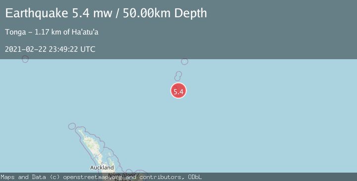
A 5.4 magnitude earthquake struck on KERMADEC ISLANDS REGION, at Mon, 22 Feb 2021 23:49:22 GMT. Depth: 50km. Reviewed by EMSC seismologists, this moderate quake occurred at a magnitude type of mw.
Magnitude
5.4
mw
Source
EMSC
Intensity
-
Agency Reports
1 Sources| Source | Magnitude | Depth | Time |
|---|---|---|---|
| EMSCPrimary | 5.4 | 50 km | 4 years ago |
Earthquake Details
AutomaticEvent IDemsc_EMSC_20210222_0000190
Tsunami PotentialNo
Magnitude Typemw
Nearest Places
- L'Esperance Rock45.7 km
- Havre Rock56.6 km
- Havre Seamount72.8 km
- Havre Trough102.5 km
- Macdonald Cove103.9 km
Comments
Join the discussion about this event.
Latest Earthquakes
0.9Mag
6 km NNE of Corralitos, CA
Time10 minutes ago
Depth6.95 km
SourceUSGS (Automatic)
2.0Mag
Seram, Indonesia
Time14 minutes ago
Depth15.15 km
SourceBMKG
4.4Mag
north of Halmahera, Indonesia
Time16 minutes ago
Depth10.00 km
SourceVYT (Automatic)
4.4Mag
NORTH OF HALMAHERA, INDONESIA
Time16 minutes ago
Depth10.00 km
SourceBMKG (Automatic)
3.1Mag
Sulawesi, Indonesia
Time18 minutes ago
Depth0.00 km
SourceVYT (Automatic)
Nearby Earthquakes
5.0Mag
KERMADEC ISLANDS REGION
Time2 months ago
Depth10.00 km
SourceNEIC (Automatic)
5.4Mag
KERMADEC ISLANDS REGION
Time16 years ago
Depth41.00 km
SourceEMSC (Automatic)
5.1Mag
KERMADEC ISLANDS REGION
Time5 years ago
Depth10.00 km
SourceEMSC (Automatic)
5.5Mag
KERMADEC ISLANDS REGION
Time5 months ago
Depth50.00 km
SourceEMSC (Automatic)
5.0Mag
KERMADEC ISLANDS REGION
Time3 years ago
Depth30.00 km
SourceEMSC (Automatic)