Earthquake KEPULAUAN TALAUD, INDONESIA
Tue, 13 Jan 2026 20:31:43 GMT
Time1 month ago
Location
3.1312, 126.9759
Depth
51.0 KM
Event Summary
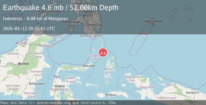
A 4.6 magnitude earthquake struck on KEPULAUAN TALAUD, INDONESIA, at Tue, 13 Jan 2026 20:31:43 GMT. Depth: 51km. Reviewed by EMSC seismologists, this light quake occurred at a magnitude type of mb.
Magnitude
4.6
mb
Source
EMSC
Intensity
-
Agency Reports
1 Sources| Source | Magnitude | Depth | Time |
|---|---|---|---|
| EMSCPrimary | 4.6 | 51 km | 1 month ago |
Earthquake Details
AutomaticEvent IDemsc_EMSC_20260113_0000305
Tsunami PotentialNo
Magnitude Typemb
Nearest Places
- Pulau Napumbalu57.8 km
- Pulau Karis61.1 km
- Tanjung Pallo68.6 km
- Tanjung Tatimbalangan69.4 km
- Taduwale69.7 km
Comments
Join the discussion about this event.
Latest Earthquakes
1.4Mag
Kenai Peninsula, Alaska
Time4 minutes ago
Depth1.95 km
SourceVYT (Automatic)
3.1Mag
Northern Sumatra, Indonesia
Time5 minutes ago
Depth14.69 km
SourceBMKG
1.9Mag
Channel Islands region, California
Time5 minutes ago
Depth2.81 km
SourceVYT (Automatic)
3.3Mag
Southern Alaska
Time12 minutes ago
Depth13.06 km
SourceVYT (Automatic)
1.9Mag
Southern Yukon Territory, Canada
Time13 minutes ago
Depth0.00 km
SourceVYT (Automatic)
Nearby Earthquakes
4.0Mag
KEPULAUAN TALAUD, INDONESIA
Time2 years ago
Depth10.00 km
SourceDJA (Automatic)
5.2Mag
KEPULAUAN TALAUD, INDONESIA
Time4 years ago
Depth66.00 km
SourceEMSC (Automatic)
3.3Mag
KEPULAUAN TALAUD, INDONESIA
Time1 month ago
Depth85.00 km
SourceBMKG (Automatic)
3.1Mag
KEPULAUAN TALAUD, INDONESIA
Time0 months ago
Depth6.00 km
SourceBMKG (Automatic)
5.5Mag
KEPULAUAN TALAUD, INDONESIA
Time3 years ago
Depth10.00 km
SourceEMSC (Automatic)