Earthquake NORTH OF HALMAHERA, INDONESIA
Sat, 27 Nov 2010 18:16:39 GMT
Time15 years ago
Location
3.8800, 128.1500
Depth
75.0 KM
Event Summary
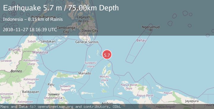
A 5.7 magnitude earthquake struck on NORTH OF HALMAHERA, INDONESIA, at Sat, 27 Nov 2010 18:16:39 GMT. Depth: 75km. Reviewed by GFZ seismologists, this moderate quake occurred at a magnitude type of m.
Magnitude
5.7
m
Source
GFZ
Intensity
-
Agency Reports
2 Sources| Source | Magnitude | Depth | Time |
|---|---|---|---|
| GFZPrimary | 5.2 | 75 km | 15 years ago |
| EMSC | 5.7 | 70 km | 15 years ago |
Earthquake Details
AutomaticEvent IDemsc_GFZ_20101127_0000037
Tsunami PotentialNo
Magnitude Typem
Nearest Places
- Snellius Ridge21.3 km
- Talaud Trough82.4 km
- Pulau Karis96.8 km
- Morotai Basin99.3 km
- Pulau Kakorotan137.7 km
Comments
Join the discussion about this event.
Latest Earthquakes
0.9Mag
Central Alaska
Time23 hours ago
Depth93.87 km
SourceVYT (Automatic)
0.7Mag
Washington
Time23 hours ago
Depth0.12 km
SourceVYT (Automatic)
3.8Mag
Salta, Argentina
Time23 hours ago
Depth207.40 km
SourceVYT (Automatic)
1.7Mag
Tarapaca, Chile
Time23 hours ago
Depth76.29 km
SourceVYT (Automatic)
2.0Mag
66 km W of Akhiok, Alaska
Time23 hours ago
Depth11.80 km
SourceUSGS (Automatic)
Nearby Earthquakes
3.7Mag
North of Halmahera, Indonesia
Time1 week ago
Depth96.03 km
SourceBMKG (Automatic)
3.8Mag
North of Halmahera, Indonesia
Time1 week ago
Depth151.96 km
SourceBMKG (Automatic)
3.8Mag
north of Halmahera, Indonesia
Time3 days ago
Depth10.00 km
SourceVYT (Automatic)
4.0Mag
KEPULAUAN TALAUD, INDONESIA
Time6 years ago
Depth129.00 km
SourceDJA (Automatic)
4.9Mag
north of Halmahera, Indonesia
Time3 days ago
Depth10.00 km
SourceVYT (Automatic)