Earthquake SOUTH OF KERMADEC ISLANDS
Sat, 02 Mar 2013 03:54:20 GMT
Time12 years ago
Location
-32.0100, -178.3700
Depth
10.0 KM
Event Summary
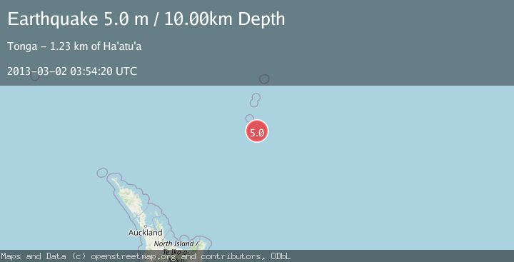
A 5.0 magnitude earthquake struck on SOUTH OF KERMADEC ISLANDS, at Sat, 02 Mar 2013 03:54:20 GMT. Depth: 10km. Reviewed by GFZ seismologists, this moderate quake occurred at a magnitude type of m.
Magnitude
5.0
m
Source
GFZ
Intensity
-
Agency Reports
1 Sources| Source | Magnitude | Depth | Time |
|---|---|---|---|
| GFZPrimary | 5.0 | 10 km | 12 years ago |
Earthquake Details
AutomaticEvent IDemsc_GFZ_20130302_0000034
Tsunami PotentialNo
Magnitude Typem
Nearest Places
- L'Esperance Rock81.4 km
- Star of Bengal Bank82.2 km
- Havre Rock94.5 km
- Scholl Deep100.9 km
- Havre Seamount120.1 km
Comments
Join the discussion about this event.
Latest Earthquakes
2.2Mag
West Papua Region, Indonesia
Time2 minutes ago
Depth10.00 km
SourceBMKG
2.2Mag
Kenai Peninsula, Alaska
Time4 minutes ago
Depth47.00 km
SourceVYT (Automatic)
2.0Mag
Antofagasta, Chile
Time10 minutes ago
Depth23.32 km
SourceVYT (Automatic)
2.8Mag
Queensland, Australia
Time11 minutes ago
Depth714.23 km
SourceVYT (Automatic)
1.1Mag
5 km S of Salcha, Alaska
Time16 minutes ago
Depth8.70 km
SourceUSGS (Automatic)
Nearby Earthquakes
5.2Mag
SOUTH OF KERMADEC ISLANDS
Time17 years ago
Depth2.00 km
SourceEMSC (Automatic)
5.1Mag
KERMADEC ISLANDS REGION
Time12 years ago
Depth40.00 km
SourceEMSC (Automatic)
4.4Mag
KERMADEC ISLANDS REGION
Time3 weeks ago
Depth35.00 km
SourceNEIC (Automatic)
5.1Mag
SOUTH OF KERMADEC ISLANDS
Time9 months ago
Depth31.00 km
SourceEMSC (Automatic)
5.1Mag
KERMADEC ISLANDS REGION
Time8 years ago
Depth30.00 km
SourceEMSC (Automatic)