Earthquake SOUTH OF KERMADEC ISLANDS
Mon, 10 May 2021 11:43:03 GMT
Time4 years ago
Location
-33.3800, 179.5400
Depth
367.0 KM
Event Summary
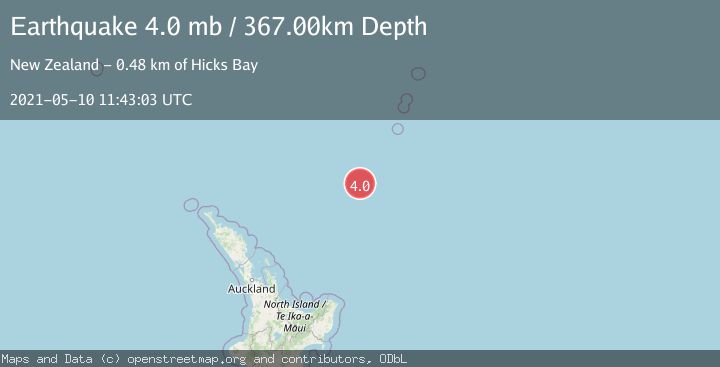
A 4.0 magnitude earthquake struck on SOUTH OF KERMADEC ISLANDS, at Mon, 10 May 2021 11:43:03 GMT. Depth: 367km. Reviewed by GNS seismologists, this light quake occurred at a magnitude type of mb.
Magnitude
4.0
mb
Source
GNS
Intensity
-
Agency Reports
1 Sources| Source | Magnitude | Depth | Time |
|---|---|---|---|
| GNSPrimary | 4.0 | 367 km | 4 years ago |
Earthquake Details
AutomaticEvent IDemsc_GNS_20210510_0000086
Tsunami PotentialNo
Magnitude Typemb
Nearest Places
- Ngātoroirangi Seamount46.1 km
- Kuiwai Seamount55.6 km
- Haungaroa Seamount114.3 km
- Oliver Knoll132.0 km
- Speight Knoll137.1 km
Comments
Join the discussion about this event.
Latest Earthquakes
2.2Mag
ISLAND OF HAWAII, HAWAII
Time5 minutes ago
Depth31.50 km
SourceHV (Automatic)
2.5Mag
Java, Indonesia
Time8 minutes ago
Depth35.11 km
SourceBMKG
1.4Mag
13 km N of Meadow Lakes, Alaska
Time15 minutes ago
Depth28.30 km
SourceUSGS (Automatic)
2.6Mag
West Papua Region, Indonesia
Time15 minutes ago
Depth72.97 km
SourceBMKG
2.1Mag
Southern Alaska
Time15 minutes ago
Depth0.00 km
SourceVYT (Automatic)
Nearby Earthquakes
4.0Mag
SOUTH OF KERMADEC ISLANDS
Time2 years ago
Depth407.60 km
SourceGNS (Automatic)
4.0Mag
SOUTH OF KERMADEC ISLANDS
Time3 years ago
Depth342.00 km
SourceGNS (Automatic)
3.9Mag
SOUTH OF KERMADEC ISLANDS
Time1 month ago
Depth398.80 km
SourceGNS (Automatic)
3.0Mag
SOUTH OF KERMADEC ISLANDS
Time2 years ago
Depth349.20 km
SourceGNS (Automatic)
4.0Mag
SOUTH OF KERMADEC ISLANDS
Time3 years ago
Depth100.00 km
SourceGNS (Automatic)