Earthquake SOUTH OF KERMADEC ISLANDS
Thu, 01 Jan 2026 21:46:37 GMT
Time1 month ago
Location
-33.4950, 179.6554
Depth
398.8 KM
Event Summary
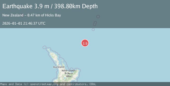
A 3.9 magnitude earthquake struck on SOUTH OF KERMADEC ISLANDS, at Thu, 01 Jan 2026 21:46:37 GMT. Depth: 398.8km. Reviewed by GNS seismologists, this minor quake occurred at a magnitude type of m.
Magnitude
3.9
m
Source
GNS
Intensity
-
Agency Reports
1 Sources| Source | Magnitude | Depth | Time |
|---|---|---|---|
| GNSPrimary | 3.9 | 399 km | 1 month ago |
Earthquake Details
AutomaticEvent IDemsc_GNS_20260101_0000345
Tsunami PotentialNo
Magnitude Typem
Nearest Places
- Ngātoroirangi Seamount29.8 km
- Kuiwai Seamount53.9 km
- Haungaroa Seamount117.6 km
- Kibblewhite Seamount127.6 km
- Oliver Knoll137.5 km
Comments
Join the discussion about this event.
Latest Earthquakes
2.2Mag
ISLAND OF HAWAII, HAWAII
Time5 minutes ago
Depth31.50 km
SourceHV (Automatic)
2.5Mag
Java, Indonesia
Time7 minutes ago
Depth35.11 km
SourceBMKG
1.4Mag
13 km N of Meadow Lakes, Alaska
Time14 minutes ago
Depth28.30 km
SourceUSGS (Automatic)
2.6Mag
West Papua Region, Indonesia
Time15 minutes ago
Depth72.97 km
SourceBMKG
2.1Mag
Southern Alaska
Time15 minutes ago
Depth0.00 km
SourceVYT (Automatic)
Nearby Earthquakes
4.0Mag
SOUTH OF KERMADEC ISLANDS
Time2 years ago
Depth407.60 km
SourceGNS (Automatic)
5.7Mag
SOUTH OF KERMADEC ISLANDS
Time17 years ago
Depth49.00 km
SourceEMSC (Automatic)
4.0Mag
SOUTH OF KERMADEC ISLANDS
Time4 years ago
Depth367.00 km
SourceGNS (Automatic)
3.0Mag
SOUTH OF KERMADEC ISLANDS
Time2 years ago
Depth349.20 km
SourceGNS (Automatic)
4.0Mag
SOUTH OF KERMADEC ISLANDS
Time3 years ago
Depth335.00 km
SourceGNS (Automatic)