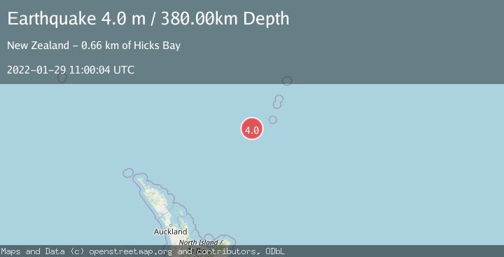
Earthquake KERMADEC ISLANDS REGION
Sat, 29 Jan 2022 11:00:04 GMT
Time4 years ago
Location
-31.8100, 179.8900
Depth
380.0 KM
Event Summary
A 4.0 magnitude earthquake struck on KERMADEC ISLANDS REGION, at Sat, 29 Jan 2022 11:00:04 GMT. Depth: 380km. Reviewed by GNS seismologists, this light quake occurred at a magnitude type of m.
Magnitude
4.0
m
Source
GNS
Intensity
-
Agency Reports
1 Sources| Source | Magnitude | Depth | Time |
|---|---|---|---|
| GNSPrimary | 4.0 | 380 km | 4 years ago |
Earthquake Details
AutomaticEvent IDemsc_GNS_20220129_0000097
Tsunami PotentialNo
Magnitude Typem
Nearest Places
- Havre Trough67.2 km
- Oliver Knoll77.0 km
- Speight Knoll80.8 km
- Haungaroa Seamount100.6 km
- Star of Bengal Bank116.6 km
Comments
Join the discussion about this event.
Latest Earthquakes
3.7Mag
Molucca Sea
Time1 minute ago
Depth29.79 km
SourceVYT (Automatic)
1.9Mag
6 km NW of Pinnacles, CA
Time5 minutes ago
Depth4.82 km
SourceUSGS (Automatic)
1.2Mag
Southern Yukon Territory, Canada
Time17 minutes ago
Depth0.00 km
SourceVYT (Automatic)
3.6Mag
Jujuy, Argentina
Time17 minutes ago
Depth228.27 km
SourceVYT (Automatic)
1.3Mag
2 km N of The Geysers, CA
Time24 minutes ago
Depth0.17 km
SourceUSGS (Automatic)
Nearby Earthquakes
5.0Mag
KERMADEC ISLANDS REGION
Time6 years ago
Depth348.00 km
SourceEMSC (Automatic)
4.0Mag
KERMADEC ISLANDS REGION
Time3 years ago
Depth488.00 km
SourceGNS (Automatic)
4.0Mag
KERMADEC ISLANDS REGION
Time5 years ago
Depth490.00 km
SourceGNS (Automatic)
4.0Mag
KERMADEC ISLANDS REGION
Time3 years ago
Depth233.00 km
SourceNEIC (Automatic)
4.0Mag
KERMADEC ISLANDS REGION
Time4 years ago
Depth467.00 km
SourceGNS (Automatic)