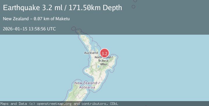
Earthquake NORTH ISLAND OF NEW ZEALAND
Thu, 15 Jan 2026 13:58:56 GMT
Time1 month ago
Location
-37.1898, 176.7998
Depth
171.5 KM
Event Summary
A 3.2 magnitude earthquake struck on NORTH ISLAND OF NEW ZEALAND, at Thu, 15 Jan 2026 13:58:56 GMT. Depth: 171.5km. Reviewed by GNS seismologists, this minor quake occurred at a magnitude type of ml.
Magnitude
3.2
ml
Source
GNS
Intensity
-
Agency Reports
1 Sources| Source | Magnitude | Depth | Time |
|---|---|---|---|
| GNSPrimary | 3.2 | 172 km | 1 month ago |
Earthquake Details
AutomaticEvent IDemsc_GNS_20260115_0000202
Tsunami PotentialNo
Magnitude Typeml
Nearest Places
- Tuakana Knoll5.7 km
- Papamoa Knoll10.1 km
- Te Hoe River13.8 km
- Kapukairo Knoll19.7 km
- Mayor Sea Channel22.8 km
Comments
Join the discussion about this event.
Latest Earthquakes
0.7Mag
84 km S of McCarthy, Alaska
Time2 minutes ago
Depth11.40 km
SourceUSGS (Automatic)
2.9Mag
Salta, Argentina
Time3 minutes ago
Depth255.49 km
SourceVYT (Automatic)
1.3Mag
4 km WSW of Calimesa, CA
Time4 minutes ago
Depth15.00 km
SourceUSGS (Automatic)
2.3Mag
Sumba Region, Indonesia
Time8 minutes ago
Depth7.66 km
SourceBMKG
3.6Mag
Southern Alaska
Time12 minutes ago
Depth10.74 km
SourceVYT (Automatic)
Nearby Earthquakes
3.0Mag
NORTH ISLAND OF NEW ZEALAND
Time6 months ago
Depth212.20 km
SourceGNS (Automatic)
3.0Mag
NORTH ISLAND OF NEW ZEALAND
Time4 months ago
Depth186.50 km
SourceGNS (Automatic)
3.0Mag
NORTH ISLAND OF NEW ZEALAND
Time10 months ago
Depth186.70 km
SourceGNS (Automatic)
3.0Mag
NORTH ISLAND OF NEW ZEALAND
Time9 months ago
Depth204.60 km
SourceGNS (Automatic)
3.0Mag
NORTH ISLAND OF NEW ZEALAND
Time4 years ago
Depth255.00 km
SourceGNS (Automatic)