Earthquake NORTH ISLAND OF NEW ZEALAND
Sat, 17 Jan 2026 15:55:37 GMT
Time1 month ago
Location
-38.2258, 175.8625
Depth
181.5 KM
Event Summary
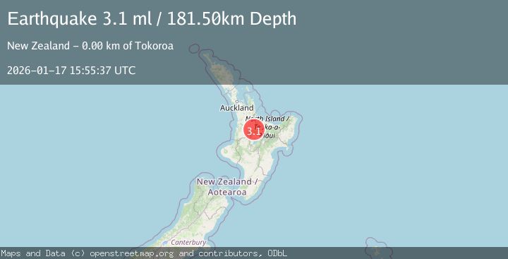
A 3.1 magnitude earthquake struck on NORTH ISLAND OF NEW ZEALAND, at Sat, 17 Jan 2026 15:55:37 GMT. Depth: 181.5km. Reviewed by GNS seismologists, this minor quake occurred at a magnitude type of ml.
Magnitude
3.1
ml
Source
GNS
Intensity
-
Agency Reports
1 Sources| Source | Magnitude | Depth | Time |
|---|---|---|---|
| GNSPrimary | 3.1 | 182 km | 1 month ago |
Earthquake Details
AutomaticEvent IDemsc_GNS_20260117_0000180
Tsunami PotentialNo
Magnitude Typeml
Nearest Places
- Tokoroa0.9 km
- Tokoroa1.1 km
- Lake Moananui1.5 km
- Whakauru Stream2.6 km
- Tokoroa Airfield2.9 km
Comments
Join the discussion about this event.
Latest Earthquakes
1.4Mag
Southeastern Alaska
Time9 hours ago
Depth0.00 km
SourceVYT (Automatic)
1.8Mag
Southern Alaska
Time9 hours ago
Depth10.00 km
SourceVYT (Automatic)
2.0Mag
Southern Alaska
Time9 hours ago
Depth29.91 km
SourceVYT (Automatic)
1.1Mag
2 km NNE of The Geysers, CA
Time9 hours ago
Depth2.51 km
SourceUSGS (Automatic)
2.2Mag
Dead Sea region
Time9 hours ago
Depth1.95 km
SourceVYT (Automatic)
Nearby Earthquakes
3.0Mag
NORTH ISLAND OF NEW ZEALAND
Time1 year ago
Depth164.00 km
SourceGNS (Automatic)
3.2Mag
NORTH ISLAND OF NEW ZEALAND
Time1 month ago
Depth171.00 km
SourceGNS (Automatic)
3.0Mag
NORTH ISLAND OF NEW ZEALAND
Time1 year ago
Depth150.80 km
SourceGNS (Automatic)
3.0Mag
NORTH ISLAND OF NEW ZEALAND
Time3 years ago
Depth140.00 km
SourceGNS (Automatic)
3.0Mag
NORTH ISLAND OF NEW ZEALAND
Time2 years ago
Depth143.10 km
SourceGNS (Automatic)