Earthquake SOUTH OF KERMADEC ISLANDS
Sat, 07 Feb 2026 13:17:24 GMT
Time1 hour ago
Location
-34.7572, 179.1820
Depth
276.2 KM
Event Summary
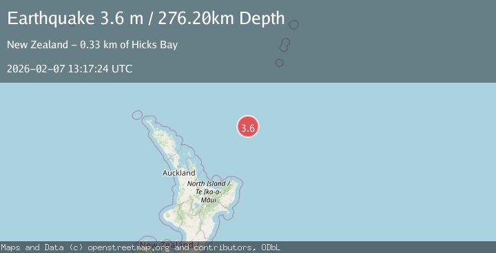
A 3.6 magnitude earthquake struck on SOUTH OF KERMADEC ISLANDS, at Sat, 07 Feb 2026 13:17:24 GMT. Depth: 276.2km. Reviewed by GNS seismologists, this minor quake occurred at a magnitude type of m.
Magnitude
3.6
m
Source
GNS
Intensity
-
Agency Reports
1 Sources| Source | Magnitude | Depth | Time |
|---|---|---|---|
| GNSPrimary | 3.6 | 276 km | 1 hour ago |
Earthquake Details
AutomaticEvent IDemsc_GNS_20260207_0000182
Tsunami PotentialNo
Magnitude Typem
Nearest Places
- Brothers Seamount17.1 km
- Kibblewhite Seamount19.5 km
- James Healy Seamount30.7 km
- Cotton Seamount37.8 km
- Silent Two Seamount53.1 km
Comments
Join the discussion about this event.
Latest Earthquakes
1.5Mag
EASTERN TURKEY
Time7 minutes ago
Depth7.20 km
SourceAFAD (Automatic)
0.8Mag
8 km NW of The Geysers, CA
Time11 minutes ago
Depth2.05 km
SourceUSGS (Automatic)
2.6Mag
Minahassa Peninsula, Sulawesi
Time15 minutes ago
Depth171.14 km
SourceBMKG (Automatic)
2.9Mag
EASTERN MEDITERRANEAN SEA
Time16 minutes ago
Depth53.20 km
SourceEMSC (Automatic)
3.2Mag
RYUKYU ISLANDS, JAPAN
Time30 minutes ago
Depth40.00 km
SourceJMA (Automatic)
Nearby Earthquakes
3.3Mag
OFF E. COAST OF N. ISLAND, N.Z.
Time1 week ago
Depth315.20 km
SourceGNS (Automatic)
3.5Mag
SOUTH OF KERMADEC ISLANDS
Time6 days ago
Depth100.00 km
SourceGNS (Automatic)
3.8Mag
OFF E. COAST OF N. ISLAND, N.Z.
Time3 days ago
Depth211.80 km
SourceGNS (Automatic)
3.3Mag
SOUTH OF KERMADEC ISLANDS
Time1 day ago
Depth100.00 km
SourceGNS (Automatic)
3.5Mag
OFF E. COAST OF N. ISLAND, N.Z.
Time3 days ago
Depth243.20 km
SourceGNS (Automatic)