Earthquake PERU-ECUADOR BORDER REGION
Mon, 10 May 2021 09:22:20 GMT
Time4 years ago
Location
-4.7900, -80.9800
Depth
36.0 KM
Event Summary
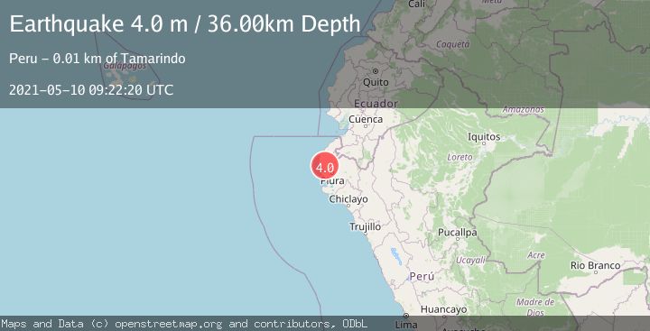
A 4.0 magnitude earthquake struck on PERU-ECUADOR BORDER REGION, at Mon, 10 May 2021 09:22:20 GMT. Depth: 36km. Reviewed by LIM seismologists, this light quake occurred at a magnitude type of m.
Magnitude
4.0
m
Source
LIM
Intensity
-
Agency Reports
1 Sources| Source | Magnitude | Depth | Time |
|---|---|---|---|
| LIMPrimary | 4.0 | 36 km | 4 years ago |
Earthquake Details
AutomaticEvent IDemsc_LIM_20210510_0000068
Tsunami PotentialNo
Magnitude Typem
Nearest Places
- Quebrada Pampa Larga1.2 km
- Capullana2.7 km
- Pampa Larga3.1 km
- Quebrada Charanal3.8 km
- Cerros de Tamarindo3.8 km
Comments
Join the discussion about this event.
Latest Earthquakes
2.8Mag
Sunda Strait, Indonesia
Time10 minutes ago
Depth3.61 km
SourceBMKG
3.6Mag
south of Alaska
Time11 minutes ago
Depth10.00 km
SourceVYT (Automatic)
1.2Mag
Central Alaska
Time13 minutes ago
Depth68.97 km
SourceVYT (Automatic)
1.2Mag
Washington
Time15 minutes ago
Depth0.00 km
SourceVYT (Automatic)
0.8Mag
10 km WNW of The Geysers, CA
Time21 minutes ago
Depth1.96 km
SourceUSGS (Automatic)
Nearby Earthquakes
4.0Mag
PERU-ECUADOR BORDER REGION
Time6 years ago
Depth10.00 km
SourceQUI (Automatic)
4.0Mag
NEAR COAST OF NORTHERN PERU
Time4 years ago
Depth25.00 km
SourceLIM (Automatic)
4.0Mag
PERU-ECUADOR BORDER REGION
Time1 year ago
Depth35.00 km
SourceLIM (Automatic)
4.2Mag
PERU-ECUADOR BORDER REGION
Time1 month ago
Depth35.00 km
SourceLIM (Automatic)
4.0Mag
PERU-ECUADOR BORDER REGION
Time4 years ago
Depth31.00 km
SourceLIM (Automatic)