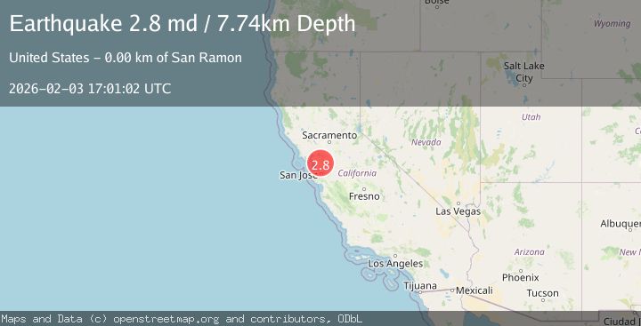
Earthquake SAN FRANCISCO BAY AREA, CALIF.
Tue, 03 Feb 2026 17:01:02 GMT
Time23 hours ago
Location
37.7675, -121.9368
Depth
7.7 KM
Event Summary
A 2.8 magnitude earthquake struck on SAN FRANCISCO BAY AREA, CALIF., at Tue, 03 Feb 2026 17:01:02 GMT. Depth: 7.7km. Reviewed by NC seismologists, this minor quake occurred at a magnitude type of md.
Magnitude
2.8
md
Source
NC
Intensity
-
Agency Reports
2 Sources| Source | Magnitude | Depth | Time |
|---|---|---|---|
| NCPrimary | 2.8 | 8 km | 23 hours ago |
| USGS | 2.8 | 8 km | 23 hours ago |
Earthquake Details
AutomaticEvent IDemsc_NC_20260203_0000242
Tsunami PotentialNo
Magnitude Typemd
Nearest Places
Comments
Join the discussion about this event.
Latest Earthquakes
2.1Mag
Sumbawa Region, Indonesia
Time23 hours ago
Depth92.82 km
SourceBMKG (Automatic)
3.2Mag
Flores Sea
Time23 hours ago
Depth22.19 km
SourceBMKG (Automatic)
4.5Mag
ANTOFAGASTA, CHILE
Time23 hours ago
Depth87.50 km
SourceGFZ (Automatic)
2.1Mag
Bali Sea
Time23 hours ago
Depth10.00 km
SourceBMKG (Automatic)
1.6Mag
44 km NW of Toyah, Texas
Time1 day ago
Depth4.20 km
SourceUSGS (Automatic)
Nearby Earthquakes
2.5Mag
4 km ESE of San Ramon, CA
Time1 day ago
Depth6.42 km
SourceUSGS (Automatic)
1.8Mag
4 km ESE of San Ramon, CA
Time1 day ago
Depth6.84 km
SourceUSGS (Automatic)
1.6Mag
4 km ESE of San Ramon, CA
Time5 days ago
Depth7.46 km
SourceUSGS (Automatic)
1.4Mag
5 km ESE of San Ramon, CA
Time3 days ago
Depth5.98 km
SourceUSGS (Automatic)
2.2Mag
4 km ESE of San Ramon, CA
Time1 day ago
Depth4.23 km
SourceUSGS (Automatic)