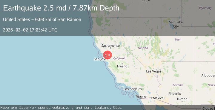
Earthquake 4 km ESE of San Ramon, CA
Mon, 02 Feb 2026 16:38:17 GMT
Time7 hours ago
Location
37.7648, -121.9322
Depth
6.4 KM
Event Summary
A 2.2 magnitude earthquake struck on 4 km ESE of San Ramon, CA, at Mon, 02 Feb 2026 16:38:17 GMT. Depth: 6.42000007629395km. Reviewed by USGS seismologists, this minor quake occurred at a magnitude type of md.
Magnitude
2.2
md
Source
USGS
Intensity
-
Agency Reports
1 Sources| Source | Magnitude | Depth | Time |
|---|---|---|---|
| USGSPrimary | 2.2 | 6 km | 7 hours ago |
Earthquake Details
AutomaticEvent IDusgs_nc75305961
Tsunami PotentialNo
Magnitude Typemd
Nearest Places
- City of San Ramon0.5 km
- Canyon Lakes Golf Course1.1 km
- San Ramon Village Shopping Center1.4 km
- Oakwood San Ramon1.5 km
- Coyote Creek1.6 km
Comments
Join the discussion about this event.
Latest Earthquakes
1.1Mag
10 km NW of The Geysers, CA
Time7 hours ago
Depth1.18 km
SourceUSGS (Automatic)
1.0Mag
16 km E of Little Lake, CA
Time7 hours ago
Depth10.56 km
SourceUSGS (Automatic)
2.6Mag
SAN JUAN, ARGENTINA
Time7 hours ago
Depth94.00 km
SourceNSNA (Automatic)
3.7Mag
New Guinea, Papua New Guinea
Time7 hours ago
Depth116.14 km
SourceBMKG (Automatic)
1.4Mag
69 km ENE of Susitna North, Alaska
Time8 hours ago
Depth40.30 km
SourceUSGS (Automatic)
Nearby Earthquakes
1.4Mag
5 km ESE of San Ramon, CA
Time1 day ago
Depth5.98 km
SourceUSGS (Automatic)
1.3Mag
4 km SE of San Ramon, CA
Time5 days ago
Depth1.02 km
SourceUSGS (Automatic)
1.6Mag
4 km ESE of San Ramon, CA
Time3 days ago
Depth7.46 km
SourceUSGS (Automatic)
1.7Mag
3 km E of San Ramon, CA
Time20 hours ago
Depth7.52 km
SourceUSGS (Automatic)
3.7Mag
SAN FRANCISCO BAY AREA, CALIF.
Time9 hours ago
Depth9.50 km
SourceNC (Automatic)