Earthquake 4 km ESE of San Ramon, CA
Fri, 30 Jan 2026 04:49:02 GMT
Time1 hour ago
Location
37.7728, -121.9370
Depth
7.5 KM
Event Summary
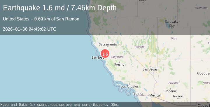
A 1.6 magnitude earthquake struck on 4 km ESE of San Ramon, CA, at Fri, 30 Jan 2026 04:49:02 GMT. Depth: 7.46000003814697km. Reviewed by USGS seismologists, this minor quake occurred at a magnitude type of md.
Magnitude
1.6
md
Source
USGS
Intensity
-
Agency Reports
1 Sources| Source | Magnitude | Depth | Time |
|---|---|---|---|
| USGSPrimary | 1.6 | 7 km | 1 hour ago |
Earthquake Details
AutomaticEvent IDusgs_nc75304066
Tsunami PotentialNo
Magnitude Typemd
Nearest Places
- City of San Ramon1.1 km
- Canyon Lakes Golf Course1.3 km
- Watson Canyon1.4 km
- Oakwood San Ramon1.6 km
- The Marketplace Shopping Center1.6 km
Comments
Join the discussion about this event.
Latest Earthquakes
4.8Mag
Mindanao, Philippines
Time6 minutes ago
Depth29.99 km
SourceBMKG (Automatic)
3.1Mag
Java, Indonesia
Time8 minutes ago
Depth5.00 km
SourceBMKG (Automatic)
3.9Mag
OFFSHORE O'HIGGINS, CHILE
Time10 minutes ago
Depth22.20 km
SourceCSN (Automatic)
0.6Mag
17 km NNE of Ridgecrest, CA
Time15 minutes ago
Depth8.41 km
SourceUSGS (Automatic)
2.0Mag
EASTERN TURKEY
Time17 minutes ago
Depth7.80 km
SourceKOERI (Automatic)
Nearby Earthquakes
1.6Mag
3 km ESE of San Ramon, CA
Time5 days ago
Depth7.67 km
SourceUSGS (Automatic)
1.6Mag
3 km ESE of San Ramon, CA
Time1 day ago
Depth7.43 km
SourceUSGS (Automatic)
1.3Mag
4 km SE of San Ramon, CA
Time1 day ago
Depth1.02 km
SourceUSGS (Automatic)
1.9Mag
4 km SE of San Ramon, CA
Time6 days ago
Depth8.30 km
SourceUSGS (Automatic)
1.3Mag
1 km NW of Danville, CA
Time3 days ago
Depth4.39 km
SourceUSGS (Automatic)