Earthquake MYANMAR-INDIA BORDER REGION
Tue, 14 Nov 2017 18:05:53 GMT
Time8 years ago
Location
24.7000, 94.3000
Depth
102.0 KM
Event Summary
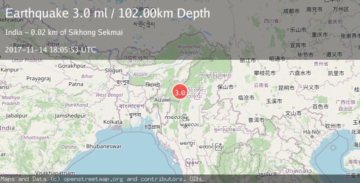
A 3.0 magnitude earthquake struck on MYANMAR-INDIA BORDER REGION, at Tue, 14 Nov 2017 18:05:53 GMT. Depth: 102km. Reviewed by NDI seismologists, this minor quake occurred at a magnitude type of ml.
Magnitude
3.0
ml
Source
NDI
Intensity
-
Agency Reports
1 Sources| Source | Magnitude | Depth | Time |
|---|---|---|---|
| NDIPrimary | 3.0 | 102 km | 8 years ago |
Earthquake Details
AutomaticEvent IDemsc_NDI_20171114_0000116
Tsunami PotentialNo
Magnitude Typeml
Nearest Places
- 3.8 km
- 5.9 km
- 6.4 km
- 13.0 km
- 13.1 km
Comments
Join the discussion about this event.
Latest Earthquakes
1.6Mag
11 km NE of San Simeon, CA
Time10 minutes ago
Depth9.12 km
SourceUSGS (Automatic)
3.0Mag
OFFSHORE LOS LAGOS, CHILE
Time10 minutes ago
Depth29.00 km
SourceCSN (Automatic)
2.0Mag
Poland
Time17 minutes ago
Depth5.62 km
SourceVYT (Automatic)
1.4Mag
3 km WSW of Mira Loma, CA
Time17 minutes ago
Depth7.18 km
SourceUSGS (Automatic)
2.2Mag
WESTERN TURKEY
Time20 minutes ago
Depth24.40 km
SourceAFAD (Automatic)
Nearby Earthquakes
3.0Mag
MYANMAR-INDIA BORDER REGION
Time2 years ago
Depth35.00 km
SourceNDI (Automatic)
3.0Mag
MYANMAR-INDIA BORDER REGION
Time8 years ago
Depth75.00 km
SourceNDI (Automatic)
3.2Mag
MYANMAR-INDIA BORDER REGION
Time1 week ago
Depth60.00 km
SourceNDI (Automatic)
4.0Mag
MYANMAR-INDIA BORDER REGION
Time5 years ago
Depth62.00 km
SourceGFZ (Automatic)
5.0Mag
MYANMAR-INDIA BORDER REGION
Time9 years ago
Depth10.00 km
SourceEMSC (Automatic)