Earthquake MYANMAR-INDIA BORDER REGION
Tue, 02 Jan 2024 18:31:36 GMT
Time2 years ago
Location
24.7500, 94.3100
Depth
35.0 KM
Event Summary
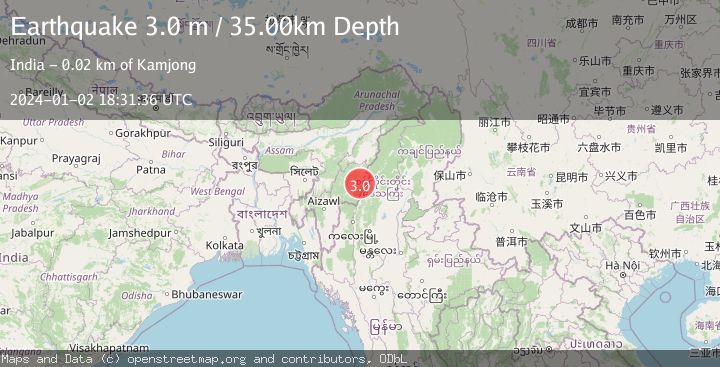
A 3.0 magnitude earthquake struck on MYANMAR-INDIA BORDER REGION, at Tue, 02 Jan 2024 18:31:36 GMT. Depth: 35km. Reviewed by NDI seismologists, this minor quake occurred at a magnitude type of m.
Magnitude
3.0
m
Source
NDI
Intensity
-
Agency Reports
1 Sources| Source | Magnitude | Depth | Time |
|---|---|---|---|
| NDIPrimary | 3.0 | 35 km | 2 years ago |
Earthquake Details
AutomaticEvent IDemsc_NDI_20240102_0000253
Tsunami PotentialNo
Magnitude Typem
Nearest Places
- 2.9 km
- 7.6 km
- 7.7 km
- 8.9 km
- 11.6 km
Comments
Join the discussion about this event.
Latest Earthquakes
2.2Mag
West Papua Region, Indonesia
Time4 hours ago
Depth10.00 km
SourceBMKG
2.2Mag
Kenai Peninsula, Alaska
Time4 hours ago
Depth47.00 km
SourceVYT (Automatic)
2.0Mag
Antofagasta, Chile
Time4 hours ago
Depth23.32 km
SourceVYT (Automatic)
2.8Mag
Queensland, Australia
Time4 hours ago
Depth714.23 km
SourceVYT (Automatic)
1.1Mag
5 km S of Salcha, Alaska
Time4 hours ago
Depth8.70 km
SourceUSGS (Automatic)
Nearby Earthquakes
3.0Mag
MYANMAR-INDIA BORDER REGION
Time8 years ago
Depth102.00 km
SourceNDI (Automatic)
3.0Mag
MYANMAR-INDIA BORDER REGION
Time8 years ago
Depth75.00 km
SourceNDI (Automatic)
4.0Mag
MYANMAR-INDIA BORDER REGION
Time5 years ago
Depth62.00 km
SourceGFZ (Automatic)
3.2Mag
MYANMAR-INDIA BORDER REGION
Time1 week ago
Depth60.00 km
SourceNDI (Automatic)
3.6Mag
MYANMAR-INDIA BORDER REGION
Time0 months ago
Depth40.00 km
SourceNDI (Automatic)