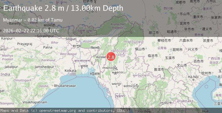
Earthquake MYANMAR-INDIA BORDER REGION
Sun, 22 Feb 2026 22:16:00 GMT
Time1 hour ago
Location
24.1200, 94.1600
Depth
13.0 KM
Event Summary
A 2.8 magnitude earthquake struck on MYANMAR-INDIA BORDER REGION, at Sun, 22 Feb 2026 22:16:00 GMT. Depth: 13km. Reviewed by NDI seismologists, this minor quake occurred at a magnitude type of m.
Magnitude
2.8
m
Source
NDI
Intensity
-
Agency Reports
1 Sources| Source | Magnitude | Depth | Time |
|---|---|---|---|
| NDIPrimary | 2.8 | 13 km | 1 hour ago |
Earthquake Details
AutomaticEvent IDemsc_NDI_20260222_0000357
Tsunami PotentialNo
Magnitude Typem
Nearest Places
- 8.8 km
- 10.1 km
- 11.3 km
- 12.0 km
- 13.2 km
Comments
Join the discussion about this event.
Latest Earthquakes
2.9Mag
Ceram Sea
Time1 hour ago
Depth17.21 km
SourceBMKG
1.1Mag
Alaska Peninsula
Time1 hour ago
Depth0.12 km
SourceVYT (Automatic)
1.7Mag
20 km NE of Arvin, CA
Time1 hour ago
Depth4.75 km
SourceUSGS (Automatic)
1.8Mag
Unimak Island region, Alaska
Time1 hour ago
Depth55.18 km
SourceVYT (Automatic)
1.2Mag
9 km NE of Julian, CA
Time1 hour ago
Depth6.45 km
SourceUSGS (Automatic)
Nearby Earthquakes
4.0Mag
MYANMAR-INDIA BORDER REGION
Time3 months ago
Depth90.00 km
SourceNDI (Automatic)
4.0Mag
MYANMAR
Time2 years ago
Depth61.00 km
SourceNDI (Automatic)
3.0Mag
MYANMAR-INDIA BORDER REGION
Time4 years ago
Depth10.00 km
SourceNDI (Automatic)
3.4Mag
MYANMAR-INDIA BORDER REGION
Time1 day ago
Depth10.00 km
SourceNDI (Automatic)
3.5Mag
MYANMAR-INDIA BORDER REGION
Time1 month ago
Depth108.00 km
SourceNDI (Automatic)