Earthquake 20 km NE of Arvin, CA
Sun, 22 Feb 2026 22:19:36 GMT
Time1 hour ago
Location
35.3535, -118.6932
Depth
4.8 KM
Event Summary
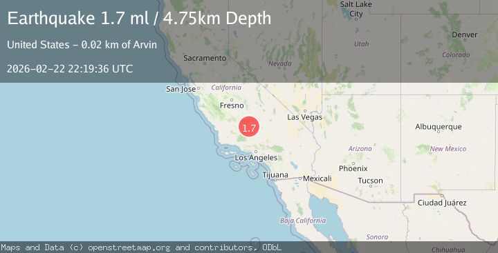
A 1.7 magnitude earthquake struck on 20 km NE of Arvin, CA, at Sun, 22 Feb 2026 22:19:36 GMT. Depth: 4.75km. Reviewed by USGS seismologists, this minor quake occurred at a magnitude type of ml.
Magnitude
1.7
ml
Source
USGS
Intensity
-
Agency Reports
1 Sources| Source | Magnitude | Depth | Time |
|---|---|---|---|
| USGSPrimary | 1.7 | 5 km | 1 hour ago |
Earthquake Details
AutomaticEvent IDusgs_ci41401648
Tsunami PotentialNo
Magnitude Typeml
Nearest Places
- 1.9 km
- 2.0 km
- 2.0 km
- 2.1 km
- 2.5 km
Comments
Join the discussion about this event.
Latest Earthquakes
1.1Mag
Alaska Peninsula
Time1 hour ago
Depth0.12 km
SourceVYT (Automatic)
1.8Mag
Unimak Island region, Alaska
Time1 hour ago
Depth55.18 km
SourceVYT (Automatic)
1.2Mag
9 km NE of Julian, CA
Time1 hour ago
Depth6.45 km
SourceUSGS (Automatic)
2.8Mag
San Juan, Argentina
Time1 hour ago
Depth10.00 km
SourceVYT (Automatic)
4.1Mag
Kepulauan Tanimbar, Indonesia
Time1 hour ago
Depth114.01 km
SourceVYT (Automatic)
Nearby Earthquakes
1.5Mag
23 km NNW of Tehachapi, CA
Time2 weeks ago
Depth5.40 km
SourceUSGS (Automatic)
1.7Mag
20 km ENE of Arvin, CA
Time3 weeks ago
Depth5.64 km
SourceUSGS (Automatic)
1.9Mag
19 km NW of Tehachapi, CA
Time0 months ago
Depth3.26 km
SourceUSGS (Automatic)
2.0Mag
Central California
Time4 days ago
Depth0.00 km
SourceVYT (Automatic)
3.0Mag
CENTRAL CALIFORNIA
Time2 years ago
Depth5.00 km
SourceNEIC (Automatic)