Earthquake ISLAND OF HAWAII, HAWAII
Tue, 18 Feb 2014 20:01:46 GMT
Time12 years ago
Location
19.2800, -155.1400
Depth
39.0 KM
Event Summary
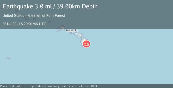
A 3.0 magnitude earthquake struck on ISLAND OF HAWAII, HAWAII, at Tue, 18 Feb 2014 20:01:46 GMT. Depth: 39km. Reviewed by NEIC seismologists, this minor quake occurred at a magnitude type of ml.
Magnitude
3.0
ml
Source
NEIC
Intensity
-
Agency Reports
1 Sources| Source | Magnitude | Depth | Time |
|---|---|---|---|
| NEICPrimary | 3.0 | 39 km | 12 years ago |
Earthquake Details
AutomaticEvent IDemsc_NEIC_20140218_0000088
Tsunami PotentialNo
Magnitude Typeml
Nearest Places
- Ka‘ena Point1.2 km
- Chain of Craters road1.3 km
- Kealakomo (historical)1.5 km
- Pu‘u Loa2.4 km
- Kahue Point2.9 km
Comments
Join the discussion about this event.
Latest Earthquakes
1.9Mag
Kenai Peninsula, Alaska
Time2 minutes ago
Depth67.87 km
SourceVYT (Automatic)
1.2Mag
Southeastern Alaska
Time7 minutes ago
Depth35.28 km
SourceVYT (Automatic)
3.3Mag
off the coast of Libertador O'Higgins, Chile
Time11 minutes ago
Depth10.00 km
SourceVYT (Automatic)
1.0Mag
6 km SSW of Redlands, CA
Time13 minutes ago
Depth10.39 km
SourceUSGS (Automatic)
1.9Mag
Central Alaska
Time17 minutes ago
Depth7.57 km
SourceVYT (Automatic)
Nearby Earthquakes
5.6Mag
ISLAND OF HAWAII, HAWAII
Time18 years ago
Depth10.00 km
SourceEMSC (Automatic)
3.0Mag
ISLAND OF HAWAII, HAWAII
Time2 years ago
Depth5.00 km
SourceNEIC (Automatic)
3.0Mag
ISLAND OF HAWAII, HAWAII
Time2 years ago
Depth17.00 km
SourceNEIC (Automatic)
3.0Mag
ISLAND OF HAWAII, HAWAII
Time4 years ago
Depth15.00 km
SourceNEIC (Automatic)
3.0Mag
ISLAND OF HAWAII, HAWAII
Time7 years ago
Depth4.00 km
SourceNEIR (Automatic)