Earthquake SOUTHERN ALASKA
Sat, 19 Apr 2014 17:22:07 GMT
Time11 years ago
Location
59.0700, -152.4600
Depth
80.0 KM
Event Summary
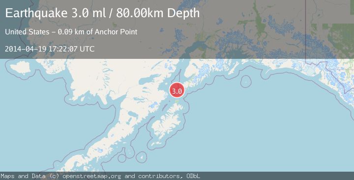
A 3.0 magnitude earthquake struck on SOUTHERN ALASKA, at Sat, 19 Apr 2014 17:22:07 GMT. Depth: 80km. Reviewed by NEIC seismologists, this minor quake occurred at a magnitude type of ml.
Magnitude
3.0
ml
Source
NEIC
Intensity
-
Agency Reports
1 Sources| Source | Magnitude | Depth | Time |
|---|---|---|---|
| NEICPrimary | 3.0 | 80 km | 11 years ago |
Earthquake Details
AutomaticEvent IDemsc_NEIC_20140419_0000094
Tsunami PotentialNo
Magnitude Typeml
Nearest Places
- Northwest Point14.4 km
- Ushagat Island19.6 km
- Nord Island20.9 km
- Table Mountain21.7 km
- Sud Island24.0 km
Comments
Join the discussion about this event.
Latest Earthquakes
1.6Mag
Kenai Peninsula, Alaska
Time4 minutes ago
Depth42.60 km
SourceVYT (Automatic)
2.4Mag
Finland
Time7 minutes ago
Depth301.88 km
SourceVYT (Automatic)
1.2Mag
Alaska Peninsula
Time8 minutes ago
Depth0.12 km
SourceVYT (Automatic)
4.1Mag
NEAR COAST OF NORTHERN PERU
Time12 minutes ago
Depth35.00 km
SourceLIM (Automatic)
3.1Mag
DODECANESE IS.-TURKEY BORDER REG
Time14 minutes ago
Depth4.10 km
SourceKOERI (Automatic)
Nearby Earthquakes
2.6Mag
45 km SW of Nanwalek, Alaska
Time1 week ago
Depth60.90 km
SourceUSGS (Automatic)
3.0Mag
SOUTHERN ALASKA
Time8 years ago
Depth60.00 km
SourceNEIR (Automatic)
3.0Mag
SOUTHERN ALASKA
Time11 years ago
Depth73.00 km
SourceNEIR (Automatic)
2.9Mag
SOUTHERN ALASKA
Time1 month ago
Depth65.00 km
SourceNEIC (Automatic)
2.9Mag
SOUTHERN ALASKA
Time2 months ago
Depth65.10 km
SourceNEIC (Automatic)