Earthquake 45 km SW of Nanwalek, Alaska
Wed, 11 Feb 2026 03:41:40 GMT
Time1 week ago
Location
59.0570, -152.4540
Depth
60.9 KM
Event Summary
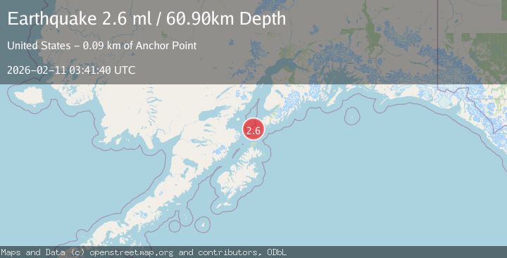
A 2.6 magnitude earthquake struck on 45 km SW of Nanwalek, Alaska, at Wed, 11 Feb 2026 03:41:40 GMT. Depth: 60.9km. Reviewed by USGS seismologists, this minor quake occurred at a magnitude type of ml.
Magnitude
2.6
ml
Source
USGS
Intensity
-
Agency Reports
1 Sources| Source | Magnitude | Depth | Time |
|---|---|---|---|
| USGSPrimary | 2.6 | 61 km | 1 week ago |
Earthquake Details
AutomaticEvent IDusgs_ak2026cxodcr
Tsunami PotentialNo
Magnitude Typeml
Nearest Places
- Northwest Point13.1 km
- Ushagat Island18.3 km
- Nord Island19.9 km
- Table Mountain20.5 km
- Sud Island22.6 km
Comments
Join the discussion about this event.
Latest Earthquakes
1.2Mag
Southern Alaska
Time6 minutes ago
Depth37.11 km
SourceVYT (Automatic)
3.0Mag
Seram, Indonesia
Time6 minutes ago
Depth12.36 km
SourceBMKG
1.1Mag
Washington
Time11 minutes ago
Depth9.64 km
SourceVYT (Automatic)
1.3Mag
WESTERN TURKEY
Time11 minutes ago
Depth8.60 km
SourceAFAD (Automatic)
1.9Mag
32 km NW of Toyah, Texas
Time13 minutes ago
Depth4.09 km
SourceUSGS (Automatic)
Nearby Earthquakes
3.0Mag
SOUTHERN ALASKA
Time11 years ago
Depth80.00 km
SourceNEIC (Automatic)
3.0Mag
SOUTHERN ALASKA
Time8 years ago
Depth60.00 km
SourceNEIR (Automatic)
3.0Mag
SOUTHERN ALASKA
Time11 years ago
Depth73.00 km
SourceNEIR (Automatic)
2.9Mag
SOUTHERN ALASKA
Time1 month ago
Depth65.00 km
SourceNEIC (Automatic)
5.7Mag
KODIAK ISLAND REGION, ALASKA
Time6 years ago
Depth59.00 km
SourceEMSC (Automatic)