Earthquake SOUTHERN ALASKA
Wed, 27 Jan 2016 01:13:39 GMT
Time10 years ago
Location
59.7100, -153.1500
Depth
106.0 KM
Event Summary
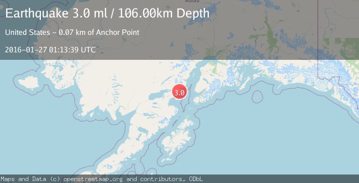
A 3.0 magnitude earthquake struck on SOUTHERN ALASKA, at Wed, 27 Jan 2016 01:13:39 GMT. Depth: 106km. Reviewed by NEIC seismologists, this minor quake occurred at a magnitude type of ml.
Magnitude
3.0
ml
Source
NEIC
Intensity
-
Agency Reports
1 Sources| Source | Magnitude | Depth | Time |
|---|---|---|---|
| NEICPrimary | 3.0 | 106 km | 10 years ago |
Earthquake Details
AutomaticEvent IDemsc_NEIC_20160127_0000097
Tsunami PotentialNo
Magnitude Typeml
Nearest Places
- Rich Creek0.4 km
- Blister Creek2.9 km
- Tilted Hills3.1 km
- Brown Creek3.3 km
- Griffin Creek3.6 km
Comments
Join the discussion about this event.
Latest Earthquakes
2.1Mag
Tarapaca, Chile
Time5 minutes ago
Depth8.18 km
SourceVYT (Automatic)
1.4Mag
12 km ESE of Olancha, CA
Time6 minutes ago
Depth7.15 km
SourceUSGS (Automatic)
2.8Mag
northwestern Russia
Time7 minutes ago
Depth10.00 km
SourceVYT (Automatic)
3.3Mag
Near North Coast of West Papua
Time7 minutes ago
Depth10.00 km
SourceBMKG
1.2Mag
5 km NNE of Fishhook, Alaska
Time8 minutes ago
Depth0.80 km
SourceUSGS (Automatic)
Nearby Earthquakes
1.7Mag
54 km E of Pedro Bay, Alaska
Time5 hours ago
Depth111.30 km
SourceUSGS (Automatic)
2.3Mag
SOUTHERN ALASKA
Time1 month ago
Depth109.50 km
SourceNEIC (Automatic)
2.6Mag
51 km E of Pedro Bay, Alaska
Time3 weeks ago
Depth121.10 km
SourceUSGS (Automatic)
1.5Mag
53 km E of Pedro Bay, Alaska
Time3 weeks ago
Depth120.40 km
SourceUSGS (Automatic)
2.7Mag
SOUTHERN ALASKA
Time1 month ago
Depth112.50 km
SourceNEIC (Automatic)