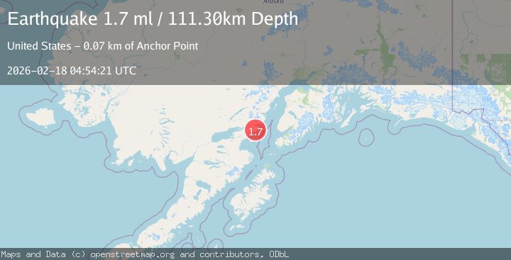
Earthquake 54 km E of Pedro Bay, Alaska
Wed, 18 Feb 2026 04:54:21 GMT
Time4 hours ago
Location
59.7010, -153.1550
Depth
111.3 KM
Event Summary
A 1.7 magnitude earthquake struck on 54 km E of Pedro Bay, Alaska, at Wed, 18 Feb 2026 04:54:21 GMT. Depth: 111.3km. Reviewed by USGS seismologists, this minor quake occurred at a magnitude type of ml.
Magnitude
1.7
ml
Source
USGS
Intensity
-
Agency Reports
1 Sources| Source | Magnitude | Depth | Time |
|---|---|---|---|
| USGSPrimary | 1.7 | 111 km | 4 hours ago |
Earthquake Details
AutomaticEvent IDusgs_aka2026dkmpqk
Tsunami PotentialNo
Magnitude Typeml
Nearest Places
- Rich Creek1.4 km
- Brown Creek2.5 km
- Tilted Hills2.6 km
- Dry Bay3.0 km
- Blister Creek3.6 km
Comments
Join the discussion about this event.
Latest Earthquakes
1.3Mag
20 km E of Lowell Point, Alaska
Time4 hours ago
Depth8.70 km
SourceUSGS (Automatic)
3.6Mag
Timor Sea
Time4 hours ago
Depth182.86 km
SourceVYT (Automatic)
4.1Mag
Banda Sea
Time4 hours ago
Depth369.33 km
SourceBMKG
0.8Mag
6 km WNW of Cobb, CA
Time4 hours ago
Depth1.58 km
SourceUSGS (Automatic)
2.4Mag
Poland
Time4 hours ago
Depth0.24 km
SourceVYT (Automatic)
Nearby Earthquakes
3.0Mag
SOUTHERN ALASKA
Time10 years ago
Depth106.00 km
SourceNEIC (Automatic)
2.6Mag
51 km E of Pedro Bay, Alaska
Time3 weeks ago
Depth121.10 km
SourceUSGS (Automatic)
2.3Mag
SOUTHERN ALASKA
Time1 month ago
Depth109.50 km
SourceNEIC (Automatic)
1.5Mag
53 km E of Pedro Bay, Alaska
Time3 weeks ago
Depth120.40 km
SourceUSGS (Automatic)
2.7Mag
SOUTHERN ALASKA
Time1 month ago
Depth112.50 km
SourceNEIC (Automatic)