Earthquake CENTRAL CALIFORNIA
Tue, 21 Nov 2017 23:49:57 GMT
Time8 years ago
Location
35.7000, -118.3900
Depth
4.0 KM
Event Summary
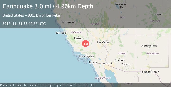
A 3.0 magnitude earthquake struck on CENTRAL CALIFORNIA, at Tue, 21 Nov 2017 23:49:57 GMT. Depth: 4km. Reviewed by NEIC seismologists, this minor quake occurred at a magnitude type of ml.
Magnitude
3.0
ml
Source
NEIC
Intensity
-
Agency Reports
1 Sources| Source | Magnitude | Depth | Time |
|---|---|---|---|
| NEICPrimary | 3.0 | 4 km | 8 years ago |
Earthquake Details
AutomaticEvent IDemsc_NEIC_20171121_0000111
Tsunami PotentialNo
Magnitude Typeml
Nearest Places
- Grandad Mine0.5 km
- Kern County Airport (historical)1.6 km
- Cyrus Flat1.7 km
- Cyrus Canyon1.8 km
- Cane Spring2.2 km
Comments
Join the discussion about this event.
Latest Earthquakes
2.5Mag
Java, Indonesia
Time5 minutes ago
Depth76.49 km
SourceBMKG
1.9Mag
Tarapaca, Chile
Time10 minutes ago
Depth7.93 km
SourceVYT (Automatic)
2.4Mag
West Papua Region, Indonesia
Time11 minutes ago
Depth10.00 km
SourceBMKG
2.7Mag
Antofagasta, Chile
Time13 minutes ago
Depth0.00 km
SourceVYT (Automatic)
2.7Mag
Tarapaca, Chile
Time18 minutes ago
Depth10.50 km
SourceVYT (Automatic)
Nearby Earthquakes
3.0Mag
CENTRAL CALIFORNIA
Time11 years ago
Depth10.00 km
SourceNEIR (Automatic)
0.7Mag
6 km ESE of Lake Isabella, CA
Time4 days ago
Depth5.34 km
SourceUSGS (Automatic)
1.8Mag
7 km ESE of Lake Isabella, CA
Time1 week ago
Depth4.34 km
SourceUSGS (Automatic)
1.6Mag
20 km ESE of Wofford Heights, CA
Time1 week ago
Depth9.94 km
SourceUSGS (Automatic)
0.6Mag
12 km NNE of Kernville, CA
Time3 weeks ago
Depth11.44 km
SourceUSGS (Automatic)