Earthquake 16 km WSW of Dana Point, CA
Sun, 25 Jan 2026 04:32:26 GMT
Time2 days ago
Location
33.3913, -117.8442
Depth
12.6 KM
Event Summary
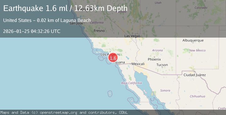
A 1.6 magnitude earthquake struck on 16 km WSW of Dana Point, CA, at Sun, 25 Jan 2026 04:32:26 GMT. Depth: 12.63km. Reviewed by USGS seismologists, this minor quake occurred at a magnitude type of ml.
Magnitude
1.6
ml
Source
USGS
Intensity
-
Agency Reports
1 Sources| Source | Magnitude | Depth | Time |
|---|---|---|---|
| USGSPrimary | 1.6 | 13 km | 2 days ago |
Earthquake Details
AutomaticEvent IDusgs_ci41171471
Tsunami PotentialNo
Magnitude Typeml
Nearest Places
- San Juan Rocks14.0 km
- Dana Point Marine Life Refuge14.1 km
- City of Dana Point14.2 km
- Dana Point14.2 km
- Lasuen Knoll14.5 km
Comments
Join the discussion about this event.
Latest Earthquakes
2.2Mag
CENTRAL TURKEY
Time8 minutes ago
Depth7.00 km
SourceKOERI (Automatic)
2.1Mag
2 km E of North Pearsall, Texas
Time16 minutes ago
Depth2.98 km
SourceUSGS (Automatic)
1.7Mag
CANARY ISLANDS, SPAIN REGION
Time25 minutes ago
Depth17.70 km
SourceIGN (Automatic)
0.9Mag
10 km SSW of Valle Vista, CA
Time29 minutes ago
Depth15.42 km
SourceUSGS (Automatic)
2.8Mag
Java, Indonesia
Time37 minutes ago
Depth109.39 km
SourceBMKG (Automatic)
Nearby Earthquakes
1.2Mag
4 km ESE of Yorba Linda, CA
Time1 day ago
Depth10.06 km
SourceUSGS (Automatic)
1.6Mag
1 km NNW of Placentia, CA
Time2 days ago
Depth12.59 km
SourceUSGS (Automatic)
1.9Mag
5 km SSE of Home Gardens, CA
Time5 days ago
Depth2.41 km
SourceUSGS (Automatic)
1.2Mag
3 km SE of Home Gardens, CA
Time2 hours ago
Depth2.12 km
SourceUSGS (Automatic)
1.5Mag
2 km SSE of Home Gardens, CA
Time1 day ago
Depth1.00 km
SourceUSGS (Automatic)