Earthquake Gulf of Santa Catalina, California
Thu, 12 Feb 2026 10:21:20 GMT
Time2 weeks ago
Location
33.3390, -118.0451
Depth
10.0 KM
Event Summary
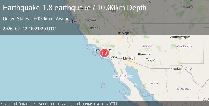
A 1.8 magnitude earthquake struck on Gulf of Santa Catalina, California, at Thu, 12 Feb 2026 10:21:20 GMT. Depth: 10km. Reviewed by VYT seismologists, this minor quake occurred at a magnitude type of earthquake.
Magnitude
1.8
earthquake
Source
VYT
Intensity
-
Agency Reports
1 Sources| Source | Magnitude | Depth | Time |
|---|---|---|---|
| VYTPrimary | 1.8 | 10 km | 2 weeks ago |
Earthquake Details
AutomaticEvent IDvyt_3a6fx3pvad1jj
Tsunami PotentialNo
Magnitude Typeearthquake
Nearest Places
- 8.0 km
- 17.3 km
- 24.1 km
- 24.4 km
- 24.6 km
Comments
Join the discussion about this event.
Latest Earthquakes
2.1Mag
Antofagasta, Chile
Time9 minutes ago
Depth1.71 km
SourceVYT (Automatic)
2.2Mag
off the coast of Tarapaca, Chile
Time11 minutes ago
Depth1.71 km
SourceVYT (Automatic)
2.4Mag
Sumbawa Region, Indonesia
Time14 minutes ago
Depth10.00 km
SourceBMKG
2.0Mag
offshore Coquimbo, Chile
Time17 minutes ago
Depth61.40 km
SourceVYT (Automatic)
2.6Mag
Tarapaca, Chile
Time19 minutes ago
Depth126.46 km
SourceVYT (Automatic)
Nearby Earthquakes
3.0Mag
GULF OF SANTA CATALINA, CALIF.
Time8 years ago
Depth10.00 km
SourceNEIC (Automatic)
1.6Mag
16 km WSW of Dana Point, CA
Time1 month ago
Depth12.63 km
SourceUSGS (Automatic)
3.0Mag
GULF OF SANTA CATALINA, CALIF.
Time10 years ago
Depth1.00 km
SourceNEIR (Automatic)
3.0Mag
GULF OF SANTA CATALINA, CALIF.
Time1 year ago
Depth5.90 km
SourceSCSN (Automatic)
4.0Mag
SAN PEDRO CHANNEL, CALIFORNIA
Time2 years ago
Depth14.00 km
SourceEMSC (Automatic)