Earthquake SOUTHERN ALASKA
Fri, 10 Jan 2020 23:13:42 GMT
Time6 years ago
Location
59.7700, -153.5000
Depth
123.0 KM
Event Summary
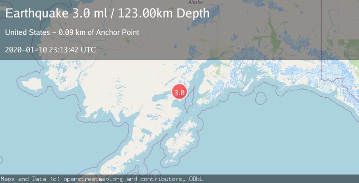
A 3.0 magnitude earthquake struck on SOUTHERN ALASKA, at Fri, 10 Jan 2020 23:13:42 GMT. Depth: 123km. Reviewed by NEIC seismologists, this minor quake occurred at a magnitude type of ml.
Magnitude
3.0
ml
Source
NEIC
Intensity
-
Agency Reports
1 Sources| Source | Magnitude | Depth | Time |
|---|---|---|---|
| NEICPrimary | 3.0 | 123 km | 6 years ago |
Earthquake Details
AutomaticEvent IDemsc_NEIC_20200110_0000163
Tsunami PotentialNo
Magnitude Typeml
Nearest Places
- Sugarloaf Mountain1.6 km
- Iniskin River3.3 km
- Roscoe Peak5.4 km
- Range Peak7.9 km
- Mount Eleanor7.9 km
Comments
Join the discussion about this event.
Latest Earthquakes
1.6Mag
Kenai Peninsula, Alaska
Time6 minutes ago
Depth42.60 km
SourceVYT (Automatic)
2.4Mag
Finland
Time8 minutes ago
Depth301.88 km
SourceVYT (Automatic)
1.2Mag
Alaska Peninsula
Time9 minutes ago
Depth0.12 km
SourceVYT (Automatic)
4.1Mag
NEAR COAST OF NORTHERN PERU
Time14 minutes ago
Depth35.00 km
SourceLIM (Automatic)
3.1Mag
DODECANESE IS.-TURKEY BORDER REG
Time15 minutes ago
Depth4.10 km
SourceKOERI (Automatic)
Nearby Earthquakes
3.0Mag
SOUTHERN ALASKA
Time5 years ago
Depth122.00 km
SourceNEIR (Automatic)
3.0Mag
SOUTHERN ALASKA
Time7 years ago
Depth129.00 km
SourceNEIR (Automatic)
3.0Mag
40 km E of Pedro Bay, Alaska
Time2 weeks ago
Depth109.10 km
SourceUSGS
3.0Mag
SOUTHERN ALASKA
Time2 months ago
Depth141.00 km
SourceNEIC (Automatic)
3.0Mag
SOUTHERN ALASKA
Time9 years ago
Depth141.00 km
SourceNEIR (Automatic)