Earthquake SOUTHERN ALASKA
Sun, 27 May 2018 23:51:38 GMT
Time7 years ago
Location
59.7500, -153.4200
Depth
129.0 KM
Event Summary
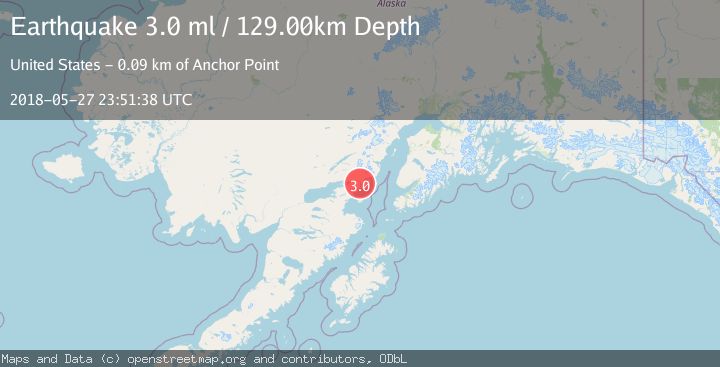
A 3.0 magnitude earthquake struck on SOUTHERN ALASKA, at Sun, 27 May 2018 23:51:38 GMT. Depth: 129km. Reviewed by NEIR seismologists, this minor quake occurred at a magnitude type of ml.
Magnitude
3.0
ml
Source
NEIR
Intensity
-
Agency Reports
1 Sources| Source | Magnitude | Depth | Time |
|---|---|---|---|
| NEIRPrimary | 3.0 | 129 km | 7 years ago |
Earthquake Details
AutomaticEvent IDemsc_NEIR_20180527_0000160
Tsunami PotentialNo
Magnitude Typeml
Nearest Places
- Range Peak3.1 km
- Sugarloaf Mountain3.6 km
- Green Cove3.9 km
- Iniskin River4.1 km
- Right Arm Iniskin Bay4.2 km
Comments
Join the discussion about this event.
Latest Earthquakes
1.2Mag
Southern Alaska
Time7 minutes ago
Depth37.11 km
SourceVYT (Automatic)
3.0Mag
Seram, Indonesia
Time7 minutes ago
Depth12.36 km
SourceBMKG
1.1Mag
Washington
Time12 minutes ago
Depth9.64 km
SourceVYT (Automatic)
1.3Mag
WESTERN TURKEY
Time12 minutes ago
Depth8.60 km
SourceAFAD (Automatic)
1.9Mag
32 km NW of Toyah, Texas
Time14 minutes ago
Depth4.09 km
SourceUSGS (Automatic)
Nearby Earthquakes
3.0Mag
40 km E of Pedro Bay, Alaska
Time2 weeks ago
Depth109.10 km
SourceUSGS
3.0Mag
SOUTHERN ALASKA
Time5 years ago
Depth122.00 km
SourceNEIR (Automatic)
3.0Mag
SOUTHERN ALASKA
Time6 years ago
Depth123.00 km
SourceNEIC (Automatic)
3.0Mag
SOUTHERN ALASKA
Time12 years ago
Depth125.00 km
SourceNEIR (Automatic)
3.0Mag
SOUTHERN ALASKA
Time8 years ago
Depth106.00 km
SourceNEIR (Automatic)