Earthquake HAWAII REGION, HAWAII
Mon, 27 Jan 2020 09:18:11 GMT
Time6 years ago
Location
19.2700, -156.9400
Depth
5.0 KM
Event Summary
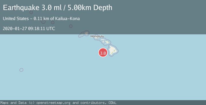
A 3.0 magnitude earthquake struck on HAWAII REGION, HAWAII, at Mon, 27 Jan 2020 09:18:11 GMT. Depth: 5km. Reviewed by NEIC seismologists, this minor quake occurred at a magnitude type of ml.
Magnitude
3.0
ml
Source
NEIC
Intensity
-
Agency Reports
1 Sources| Source | Magnitude | Depth | Time |
|---|---|---|---|
| NEICPrimary | 3.0 | 5 km | 6 years ago |
Earthquake Details
AutomaticEvent IDemsc_NEIC_20200127_0000082
Tsunami PotentialNo
Magnitude Typeml
Nearest Places
- Jaggar Seamount14.1 km
- Cook Seamount24.0 km
- Perret Seamount45.2 km
- Indianapolis Seamount47.6 km
- McCall Seamount59.8 km
Comments
Join the discussion about this event.
Latest Earthquakes
2.4Mag
Sulawesi, Indonesia
Time14 hours ago
Depth4.26 km
SourceBMKG
2.2Mag
Northern Sumatra, Indonesia
Time14 hours ago
Depth8.25 km
SourceBMKG
2.5Mag
CRETE, GREECE
Time14 hours ago
Depth17.50 km
SourceNOA (Automatic)
2.5Mag
Tarapaca, Chile
Time14 hours ago
Depth112.55 km
SourceVYT (Automatic)
2.0Mag
ALBANIA
Time14 hours ago
Depth15.00 km
SourceIGEO (Automatic)
Nearby Earthquakes
3.0Mag
HAWAIIAN ISLANDS REGION
Time3 years ago
Depth15.00 km
SourceNEIC (Automatic)
3.0Mag
HAWAII REGION, HAWAII
Time1 year ago
Depth10.00 km
SourceNEIC (Automatic)
1.7Mag
51 km WSW of Kailua-Kona, Hawaii
Time2 days ago
Depth0.32 km
SourceUSGS (Automatic)
3.0Mag
HAWAII REGION, HAWAII
Time2 years ago
Depth39.80 km
SourceNEIC (Automatic)
3.5Mag
HAWAIIAN ISLANDS REGION
Time1 month ago
Depth10.00 km
SourceNEIC (Automatic)