Earthquake SOUTHERN ALASKA
Mon, 23 Mar 2020 23:42:40 GMT
Time5 years ago
Location
60.0500, -153.3600
Depth
137.0 KM
Event Summary
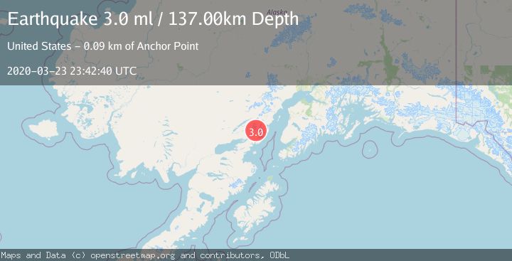
A 3.0 magnitude earthquake struck on SOUTHERN ALASKA, at Mon, 23 Mar 2020 23:42:40 GMT. Depth: 137km. Reviewed by NEIC seismologists, this minor quake occurred at a magnitude type of ml.
Magnitude
3.0
ml
Source
NEIC
Intensity
-
Agency Reports
1 Sources| Source | Magnitude | Depth | Time |
|---|---|---|---|
| NEICPrimary | 3.0 | 137 km | 5 years ago |
Earthquake Details
AutomaticEvent IDemsc_NEIC_20200323_0000149
Tsunami PotentialNo
Magnitude Typeml
Nearest Places
- Tongue Glacier8.2 km
- Roscoe Glacier9.8 km
- Umbrella Glacier12.8 km
- Holland Creek13.6 km
- Left Fork West Glacier Creek14.1 km
Comments
Join the discussion about this event.
Latest Earthquakes
2.1Mag
Tarapaca, Chile
Time6 minutes ago
Depth8.18 km
SourceVYT (Automatic)
1.4Mag
12 km ESE of Olancha, CA
Time6 minutes ago
Depth7.15 km
SourceUSGS (Automatic)
2.8Mag
northwestern Russia
Time7 minutes ago
Depth10.00 km
SourceVYT (Automatic)
3.3Mag
Near North Coast of West Papua
Time7 minutes ago
Depth10.00 km
SourceBMKG
1.2Mag
5 km NNE of Fishhook, Alaska
Time8 minutes ago
Depth0.80 km
SourceUSGS (Automatic)
Nearby Earthquakes
3.0Mag
SOUTHERN ALASKA
Time5 years ago
Depth136.00 km
SourceNEIC (Automatic)
1.5Mag
Southern Alaska
Time18 hours ago
Depth67.26 km
SourceVYT (Automatic)
3.0Mag
SOUTHERN ALASKA
Time4 years ago
Depth154.00 km
SourceNEIC (Automatic)
3.0Mag
SOUTHERN ALASKA
Time8 years ago
Depth124.00 km
SourceNEIC (Automatic)
1.7Mag
45 km NE of Pedro Bay, Alaska
Time3 weeks ago
Depth164.70 km
SourceUSGS (Automatic)