Earthquake SOUTHEASTERN ALASKA
Mon, 27 Jul 2020 19:00:56 GMT
Time5 years ago
Location
58.3400, -133.4700
Depth
4.0 KM
Event Summary
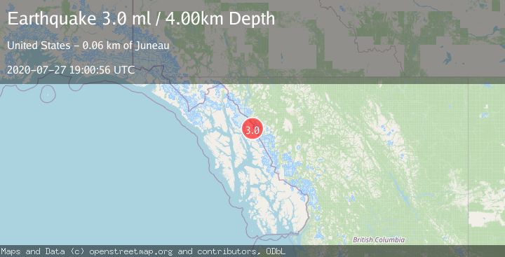
A 3.0 magnitude earthquake struck on SOUTHEASTERN ALASKA, at Mon, 27 Jul 2020 19:00:56 GMT. Depth: 4km. Reviewed by NEIC seismologists, this minor quake occurred at a magnitude type of ml.
Magnitude
3.0
ml
Source
NEIC
Intensity
-
Agency Reports
1 Sources| Source | Magnitude | Depth | Time |
|---|---|---|---|
| NEICPrimary | 3.0 | 4 km | 5 years ago |
Earthquake Details
AutomaticEvent IDemsc_NEIC_20200727_0000115
Tsunami PotentialNo
Magnitude Typeml
Nearest Places
- Speel Glacier2.1 km
- Speel Lake (historical)2.2 km
- Speel Glacier4.0 km
- Mount Fremont Morse4.8 km
- Mount Fremont Morse5.3 km
Comments
Join the discussion about this event.
Latest Earthquakes
3.7Mag
Molucca Sea
Time1 minute ago
Depth29.79 km
SourceVYT (Automatic)
1.9Mag
6 km NW of Pinnacles, CA
Time5 minutes ago
Depth4.82 km
SourceUSGS (Automatic)
1.2Mag
Southern Yukon Territory, Canada
Time16 minutes ago
Depth0.00 km
SourceVYT (Automatic)
3.6Mag
Jujuy, Argentina
Time17 minutes ago
Depth228.27 km
SourceVYT (Automatic)
1.3Mag
2 km N of The Geysers, CA
Time24 minutes ago
Depth0.17 km
SourceUSGS (Automatic)
Nearby Earthquakes
3.0Mag
SOUTHEASTERN ALASKA
Time4 years ago
Depth5.00 km
SourceNEIC (Automatic)
3.0Mag
SOUTHEASTERN ALASKA
Time5 years ago
Depth10.00 km
SourceNEIC (Automatic)
3.0Mag
SOUTHEASTERN ALASKA
Time4 years ago
Depth5.00 km
SourceCN (Automatic)
3.0Mag
SOUTHEASTERN ALASKA
Time5 years ago
Depth5.00 km
SourceNEIC (Automatic)
3.0Mag
SOUTHEASTERN ALASKA
Time2 years ago
Depth1.00 km
SourceCN (Automatic)