Earthquake ISLAND OF HAWAII, HAWAII
Mon, 17 Aug 2020 15:33:07 GMT
Time5 years ago
Location
19.2500, -155.4300
Depth
40.0 KM
Event Summary
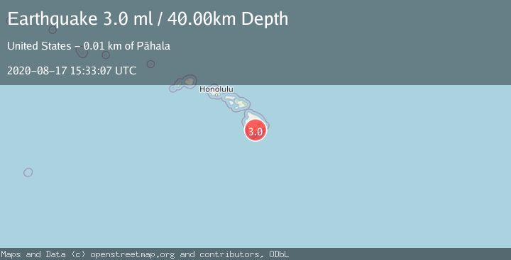
A 3.0 magnitude earthquake struck on ISLAND OF HAWAII, HAWAII, at Mon, 17 Aug 2020 15:33:07 GMT. Depth: 40km. Reviewed by NEIC seismologists, this minor quake occurred at a magnitude type of ml.
Magnitude
3.0
ml
Source
NEIC
Intensity
-
Agency Reports
1 Sources| Source | Magnitude | Depth | Time |
|---|---|---|---|
| NEICPrimary | 3.0 | 40 km | 5 years ago |
Earthquake Details
AutomaticEvent IDemsc_NEIC_20200817_0000112
Tsunami PotentialNo
Magnitude Typeml
Nearest Places
- Pu‘unāhāhā0.8 km
- Red Cones1.9 km
- Great Crack3.2 km
- Ka‘ala‘alamakai3.6 km
- Waihaka Gulch3.9 km
Comments
Join the discussion about this event.
Latest Earthquakes
1.4Mag
Southern Alaska
Time1 minute ago
Depth44.07 km
SourceVYT (Automatic)
0.7Mag
8 km NW of The Geysers, CA
Time8 minutes ago
Depth1.59 km
SourceUSGS (Automatic)
1.2Mag
Southern Alaska
Time9 minutes ago
Depth16.72 km
SourceVYT (Automatic)
1.6Mag
49 km W of Mentone, Texas
Time9 minutes ago
Depth4.59 km
SourceUSGS (Automatic)
3.1Mag
northern Colombia
Time11 minutes ago
Depth219.97 km
SourceVYT (Automatic)
Nearby Earthquakes
3.0Mag
ISLAND OF HAWAII, HAWAII
Time4 years ago
Depth42.00 km
SourceNEIC (Automatic)
3.0Mag
ISLAND OF HAWAII, HAWAII
Time2 years ago
Depth37.00 km
SourceNEIC (Automatic)
3.0Mag
ISLAND OF HAWAII, HAWAII
Time5 years ago
Depth35.00 km
SourceNEIC (Automatic)
3.0Mag
ISLAND OF HAWAII, HAWAII
Time5 years ago
Depth41.00 km
SourceNEIC (Automatic)
3.0Mag
ISLAND OF HAWAII, HAWAII
Time4 years ago
Depth40.00 km
SourceNEIC (Automatic)