Earthquake ISLAND OF HAWAII, HAWAII
Tue, 13 Jul 2021 02:07:28 GMT
Time4 years ago
Location
19.1700, -155.4800
Depth
43.0 KM
Event Summary
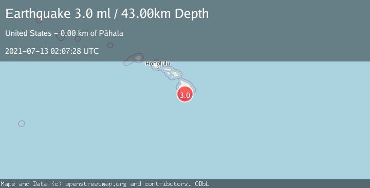
A 3.0 magnitude earthquake struck on ISLAND OF HAWAII, HAWAII, at Tue, 13 Jul 2021 02:07:28 GMT. Depth: 43km. Reviewed by NEIC seismologists, this minor quake occurred at a magnitude type of ml.
Magnitude
3.0
ml
Source
NEIC
Intensity
-
Agency Reports
1 Sources| Source | Magnitude | Depth | Time |
|---|---|---|---|
| NEICPrimary | 3.0 | 43 km | 4 years ago |
Earthquake Details
AutomaticEvent IDemsc_NEIC_20210713_0000016
Tsunami PotentialNo
Magnitude Typeml
Nearest Places
- Kanenelu Flat0.4 km
- Moaula Kopu Makaka0.5 km
- Moa‘ula Gulch0.7 km
- Puu Kolea1.0 km
- Hi‘onamoa Gulch1.4 km
Comments
Join the discussion about this event.
Latest Earthquakes
1.7Mag
17 km WSW of Johannesburg, CA
Time1 hour ago
Depth8.41 km
SourceUSGS (Automatic)
1.3Mag
Southeastern Alaska
Time1 hour ago
Depth1.71 km
SourceVYT (Automatic)
1.3Mag
WESTERN TURKEY
Time1 hour ago
Depth7.00 km
SourceAFAD (Automatic)
2.9Mag
Central Alaska
Time1 hour ago
Depth0.00 km
SourceVYT (Automatic)
1.9Mag
Kenai Peninsula, Alaska
Time1 hour ago
Depth67.87 km
SourceVYT (Automatic)
Nearby Earthquakes
3.0Mag
ISLAND OF HAWAII, HAWAII
Time3 years ago
Depth30.00 km
SourceNEIR (Automatic)
2.4Mag
ISLAND OF HAWAII, HAWAII
Time2 days ago
Depth31.00 km
SourceHV (Automatic)
2.4Mag
ISLAND OF HAWAII, HAWAII
Time1 month ago
Depth26.40 km
SourceHV (Automatic)
3.0Mag
ISLAND OF HAWAII, HAWAII
Time10 years ago
Depth33.00 km
SourceNEIR (Automatic)
3.0Mag
ISLAND OF HAWAII, HAWAII
Time10 years ago
Depth41.00 km
SourceNEIR (Automatic)