Earthquake ISLAND OF HAWAII, HAWAII
Sun, 14 Feb 2016 14:27:09 GMT
Time10 years ago
Location
19.1700, -155.4700
Depth
33.0 KM
Event Summary
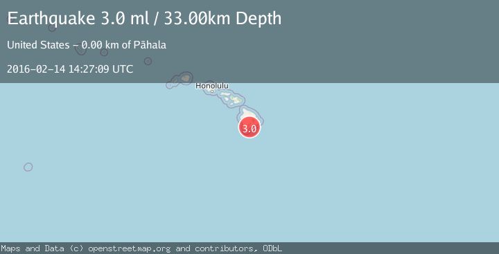
A 3.0 magnitude earthquake struck on ISLAND OF HAWAII, HAWAII, at Sun, 14 Feb 2016 14:27:09 GMT. Depth: 33km. Reviewed by NEIR seismologists, this minor quake occurred at a magnitude type of ml.
Magnitude
3.0
ml
Source
NEIR
Intensity
-
Agency Reports
1 Sources| Source | Magnitude | Depth | Time |
|---|---|---|---|
| NEIRPrimary | 3.0 | 33 km | 10 years ago |
Earthquake Details
AutomaticEvent IDemsc_NEIR_20160214_0000069
Tsunami PotentialNo
Magnitude Typeml
Nearest Places
- Kanenelu Flat0.9 km
- Puu Kolea1.2 km
- Hi‘onamoa Gulch1.2 km
- Moa‘ula Gulch1.2 km
- Moaula Kopu Makaka1.4 km
Comments
Join the discussion about this event.
Latest Earthquakes
2.0Mag
Southern Alaska
Time55 minutes ago
Depth69.34 km
SourceVYT (Automatic)
1.5Mag
Southern California
Time56 minutes ago
Depth13.67 km
SourceVYT (Automatic)
1.5Mag
Southern Alaska
Time57 minutes ago
Depth0.00 km
SourceVYT (Automatic)
3.7Mag
Tarapaca, Chile
Time1 hour ago
Depth0.00 km
SourceVYT (Automatic)
2.6Mag
Halmahera, Indonesia
Time1 hour ago
Depth90.20 km
SourceBMKG
Nearby Earthquakes
2.2Mag
ISLAND OF HAWAII, HAWAII
Time2 weeks ago
Depth30.40 km
SourceHV (Automatic)
3.0Mag
ISLAND OF HAWAII, HAWAII
Time3 years ago
Depth30.00 km
SourceNEIR (Automatic)
3.0Mag
ISLAND OF HAWAII, HAWAII
Time4 years ago
Depth43.00 km
SourceNEIC (Automatic)
3.0Mag
ISLAND OF HAWAII, HAWAII
Time11 years ago
Depth9.00 km
SourceNEIR (Automatic)
2.5Mag
ISLAND OF HAWAII, HAWAII
Time1 month ago
Depth31.10 km
SourceHV (Automatic)