Earthquake SOUTHERN ALASKA
Mon, 13 Dec 2021 20:30:46 GMT
Time4 years ago
Location
59.2600, -152.1100
Depth
66.0 KM
Event Summary
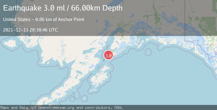
A 3.0 magnitude earthquake struck on SOUTHERN ALASKA, at Mon, 13 Dec 2021 20:30:46 GMT. Depth: 66km. Reviewed by NEIC seismologists, this minor quake occurred at a magnitude type of ml.
Magnitude
3.0
ml
Source
NEIC
Intensity
-
Agency Reports
1 Sources| Source | Magnitude | Depth | Time |
|---|---|---|---|
| NEICPrimary | 3.0 | 66 km | 4 years ago |
Earthquake Details
AutomaticEvent IDemsc_NEIC_20211213_0000278
Tsunami PotentialNo
Magnitude Typeml
Nearest Places
- Point Adam7.8 km
- Magnet Rock8.1 km
- Point Bede9.0 km
- Flat Islands10.2 km
- Koyuktolik Bay10.3 km
Comments
Join the discussion about this event.
Latest Earthquakes
1.2Mag
Southern Alaska
Time4 hours ago
Depth37.11 km
SourceVYT (Automatic)
3.0Mag
Seram, Indonesia
Time4 hours ago
Depth12.36 km
SourceBMKG
1.1Mag
Washington
Time4 hours ago
Depth9.64 km
SourceVYT (Automatic)
1.3Mag
WESTERN TURKEY
Time4 hours ago
Depth8.60 km
SourceAFAD (Automatic)
1.9Mag
32 km NW of Toyah, Texas
Time4 hours ago
Depth4.09 km
SourceUSGS (Automatic)
Nearby Earthquakes
2.7Mag
15 km SSW of Nanwalek, Alaska
Time0 months ago
Depth43.50 km
SourceUSGS
2.9Mag
SOUTHERN ALASKA
Time1 month ago
Depth60.50 km
SourceNEIC (Automatic)
2.7Mag
SOUTHERN ALASKA
Time2 months ago
Depth35.00 km
SourceNEIC (Automatic)
4.0Mag
SOUTHERN ALASKA
Time3 years ago
Depth79.00 km
SourceNEIC (Automatic)
3.0Mag
SOUTHERN ALASKA
Time1 year ago
Depth50.50 km
SourceNEIC (Automatic)