Earthquake 15 km SSW of Nanwalek, Alaska
Tue, 20 Jan 2026 05:42:10 GMT
Time1 week ago
Location
59.2300, -152.0170
Depth
43.5 KM
Event Summary
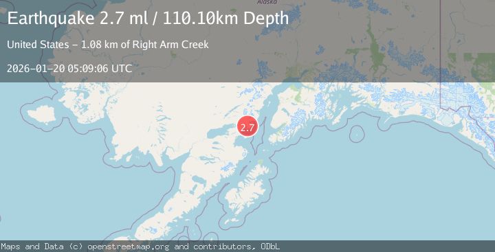
A 2.7 magnitude earthquake struck on 15 km SSW of Nanwalek, Alaska, at Tue, 20 Jan 2026 05:42:10 GMT. Depth: 43.5km. Reviewed by USGS seismologists, this minor quake occurred at a magnitude type of ml.
Magnitude
2.7
ml
Source
USGS
Intensity
-
Agency Reports
1 Sources| Source | Magnitude | Depth | Time |
|---|---|---|---|
| USGSPrimary | 2.7 | 110 km | 1 week ago |
Earthquake Details
ConfirmedEvent IDusgs_ak2026bjidki
Tsunami PotentialNo
Magnitude Typeml
Nearest Places
- Point Adam3.7 km
- Koyuktolik Bay4.9 km
- Dog Fish Bay Airport8.1 km
- Magnet Rock8.8 km
- Point Bede9.4 km
Comments
Join the discussion about this event.
Latest Earthquakes
1.1Mag
17 km NW of Ocotillo, CA
Time10 minutes ago
Depth11.53 km
SourceUSGS (Automatic)
2.1Mag
Southern Sumatra, Indonesia
Time16 minutes ago
Depth15.65 km
SourceBMKG (Automatic)
3.2Mag
SALTA, ARGENTINA
Time20 minutes ago
Depth178.00 km
SourceNSNA (Automatic)
1.6Mag
15 km ESE of Little Lake, CA
Time24 minutes ago
Depth6.81 km
SourceUSGS (Automatic)
5.0Mag
NEAR EAST COAST OF KAMCHATKA
Time25 minutes ago
Depth66.30 km
SourceNEIC (Automatic)
Nearby Earthquakes
3.8Mag
KODIAK ISLAND REGION, ALASKA
Time1 week ago
Depth68.20 km
SourceAK (Automatic)
2.5Mag
37 km WSW of Anchor Point, Alaska
Time5 days ago
Depth93.10 km
SourceUSGS (Automatic)
3.6Mag
78 km SW of Nanwalek, Alaska
Time1 week ago
Depth30.20 km
SourceUSGS (Automatic)
1.6Mag
57 km WSW of Anchor Point, Alaska
Time1 day ago
Depth96.00 km
SourceUSGS (Automatic)
2.8Mag
76 km NNE of Aleneva, Alaska
Time5 hours ago
Depth26.90 km
SourceUSGS (Automatic)