Earthquake SOUTHERN ALASKA
Wed, 07 Jan 2026 20:26:23 GMT
Time1 month ago
Location
59.3256, -152.0515
Depth
60.5 KM
Event Summary
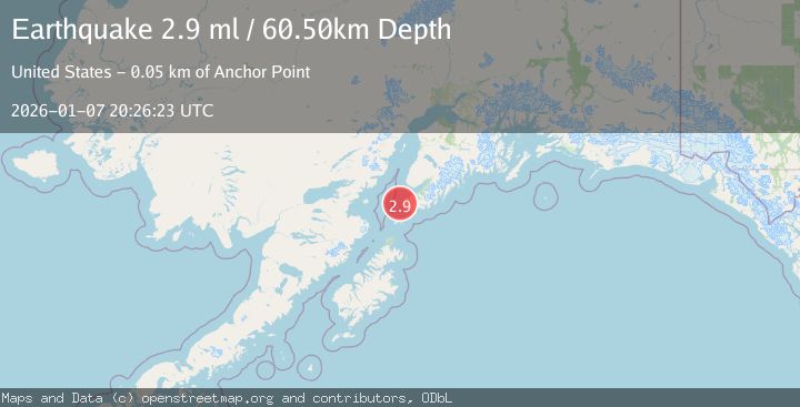
A 2.9 magnitude earthquake struck on SOUTHERN ALASKA, at Wed, 07 Jan 2026 20:26:23 GMT. Depth: 60.5km. Reviewed by NEIC seismologists, this minor quake occurred at a magnitude type of ml.
Magnitude
2.9
ml
Source
NEIC
Intensity
-
Agency Reports
1 Sources| Source | Magnitude | Depth | Time |
|---|---|---|---|
| NEICPrimary | 2.9 | 61 km | 1 month ago |
Earthquake Details
AutomaticEvent IDemsc_NEIC_20260107_0000346
Tsunami PotentialNo
Magnitude Typeml
Nearest Places
- Magnet Rock3.2 km
- Flat Island Light3.3 km
- Flat Islands3.3 km
- Point Bede3.8 km
- English Bay River7.4 km
Comments
Join the discussion about this event.
Latest Earthquakes
1.3Mag
54 km WNW of Toyah, Texas
Time4 hours ago
Depth0.00 km
SourceUSGS (Automatic)
2.9Mag
Oruro, Bolivia
Time4 hours ago
Depth189.21 km
SourceVYT (Automatic)
3.4Mag
OFF COAST OF COSTA RICA
Time4 hours ago
Depth10.00 km
SourceINET (Automatic)
2.0Mag
Central Alaska
Time4 hours ago
Depth56.15 km
SourceVYT (Automatic)
2.6Mag
Antofagasta, Chile
Time4 hours ago
Depth0.00 km
SourceVYT (Automatic)
Nearby Earthquakes
3.0Mag
SOUTHERN ALASKA
Time4 years ago
Depth66.00 km
SourceNEIC (Automatic)
2.7Mag
15 km SSW of Nanwalek, Alaska
Time0 months ago
Depth43.50 km
SourceUSGS
3.0Mag
SOUTHERN ALASKA
Time10 months ago
Depth57.40 km
SourceAK (Automatic)
2.7Mag
SOUTHERN ALASKA
Time2 months ago
Depth35.00 km
SourceNEIC (Automatic)
4.0Mag
SOUTHERN ALASKA
Time3 years ago
Depth79.00 km
SourceNEIC (Automatic)