Earthquake SOUTHERN YUKON TERRITORY, CANADA
Wed, 14 Jan 2026 21:17:01 GMT
Time1 month ago
Location
60.4634, -139.8453
Depth
5.0 KM
Event Summary
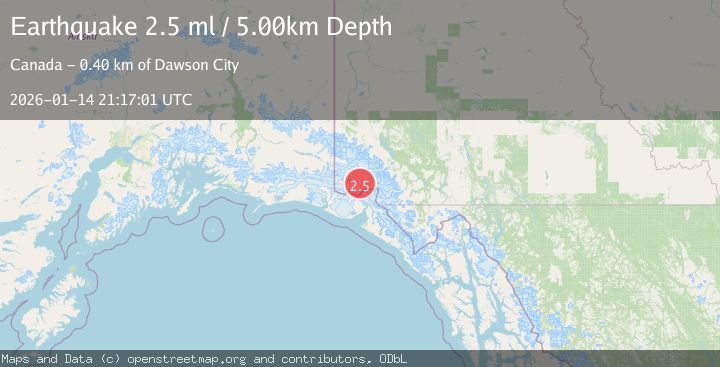
A 2.5 magnitude earthquake struck on SOUTHERN YUKON TERRITORY, CANADA, at Wed, 14 Jan 2026 21:17:01 GMT. Depth: 5km. Reviewed by NEIC seismologists, this minor quake occurred at a magnitude type of ml.
Magnitude
2.5
ml
Source
NEIC
Intensity
-
Agency Reports
1 Sources| Source | Magnitude | Depth | Time |
|---|---|---|---|
| NEICPrimary | 2.5 | 5 km | 1 month ago |
Earthquake Details
AutomaticEvent IDemsc_NEIC_20260114_0000383
Tsunami PotentialNo
Magnitude Typeml
Nearest Places
- Mount King George8.2 km
- Marker Lake9.5 km
- Mount Vancouver14.2 km
- Mount Queen Mary19.5 km
- St. Elias Mountains22.6 km
Comments
Join the discussion about this event.
Latest Earthquakes
1.0Mag
Southeastern Alaska
Time5 minutes ago
Depth0.00 km
SourceVYT (Automatic)
3.5Mag
COOK STRAIT, NEW ZEALAND
Time6 minutes ago
Depth75.30 km
SourceGNS (Automatic)
2.4Mag
Seram, Indonesia
Time8 minutes ago
Depth18.42 km
SourceBMKG
2.6Mag
West Papua Region, Indonesia
Time10 minutes ago
Depth17.35 km
SourceBMKG
5.0Mag
CENTRAL MID-ATLANTIC RIDGE
Time11 minutes ago
Depth10.00 km
SourceEMSC (Automatic)
Nearby Earthquakes
2.9Mag
SOUTHERN YUKON TERRITORY, CANADA
Time1 month ago
Depth5.00 km
SourceNEIC (Automatic)
2.5Mag
SOUTHERN YUKON TERRITORY, CANADA
Time1 month ago
Depth10.00 km
SourceNEIC (Automatic)
2.6Mag
SOUTHERN YUKON TERRITORY, CANADA
Time1 month ago
Depth5.00 km
SourceNEIC (Automatic)
1.4Mag
Southeastern Alaska
Time7 hours ago
Depth21.73 km
SourceVYT (Automatic)
3.3Mag
SOUTHERN YUKON TERRITORY, CANADA
Time1 month ago
Depth5.00 km
SourceAK (Automatic)