Earthquake SOUTHERN ALASKA
Thu, 15 Jan 2026 06:28:32 GMT
Time1 month ago
Location
61.6964, -152.0706
Depth
117.3 KM
Event Summary
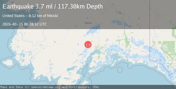
A 3.7 magnitude earthquake struck on SOUTHERN ALASKA, at Thu, 15 Jan 2026 06:28:32 GMT. Depth: 117.3km. Reviewed by NEIC seismologists, this minor quake occurred at a magnitude type of ml.
Magnitude
3.7
ml
Source
NEIC
Intensity
-
Agency Reports
1 Sources| Source | Magnitude | Depth | Time |
|---|---|---|---|
| NEICPrimary | 3.7 | 117 km | 1 month ago |
Earthquake Details
AutomaticEvent IDemsc_NEIC_20260115_0000079
Tsunami PotentialNo
Magnitude Typeml
Nearest Places
- Trimble Glacier3.2 km
- South Branch Trimble Glacier6.5 km
- Entrance Point8.9 km
- North Branch Trimble Glacier8.9 km
- Hayes River Pass9.1 km
Comments
Join the discussion about this event.
Latest Earthquakes
2.0Mag
Poland
Time1 minute ago
Depth0.49 km
SourceVYT (Automatic)
1.9Mag
Antofagasta, Chile
Time4 minutes ago
Depth9.40 km
SourceVYT (Automatic)
1.3Mag
8 km NW of The Geysers, CA
Time4 minutes ago
Depth2.00 km
SourceUSGS (Automatic)
1.2Mag
63 km WNW of Toyah, Texas
Time7 minutes ago
Depth0.08 km
SourceUSGS (Automatic)
1.4Mag
12 km SSW of Salton City, CA
Time11 minutes ago
Depth5.74 km
SourceUSGS (Automatic)
Nearby Earthquakes
3.0Mag
SOUTHERN ALASKA
Time7 years ago
Depth112.00 km
SourceNEIR (Automatic)
3.0Mag
SOUTHERN ALASKA
Time4 years ago
Depth124.00 km
SourceNEIC (Automatic)
4.0Mag
SOUTHERN ALASKA
Time6 years ago
Depth110.00 km
SourceNEIC (Automatic)
1.1Mag
Southern Alaska
Time4 days ago
Depth0.00 km
SourceVYT (Automatic)
1.5Mag
Southern Alaska
Time6 days ago
Depth2.44 km
SourceVYT (Automatic)