Earthquake SOUTHERN ALASKA
Wed, 18 Jul 2018 07:30:24 GMT
Time7 years ago
Location
61.7000, -152.0300
Depth
112.0 KM
Event Summary
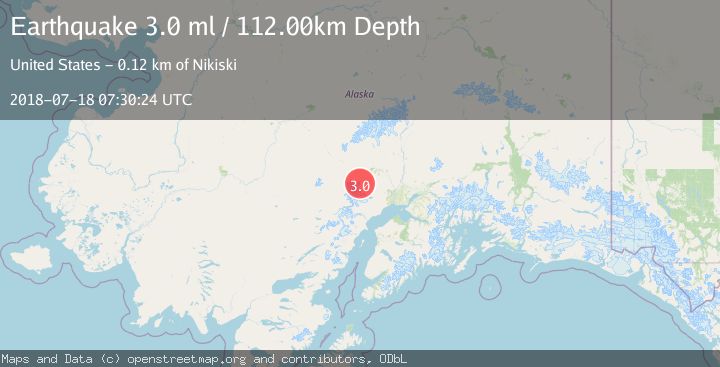
A 3.0 magnitude earthquake struck on SOUTHERN ALASKA, at Wed, 18 Jul 2018 07:30:24 GMT. Depth: 112km. Reviewed by NEIR seismologists, this minor quake occurred at a magnitude type of ml.
Magnitude
3.0
ml
Source
NEIR
Intensity
-
Agency Reports
1 Sources| Source | Magnitude | Depth | Time |
|---|---|---|---|
| NEIRPrimary | 3.0 | 112 km | 7 years ago |
Earthquake Details
AutomaticEvent IDemsc_NEIR_20180718_0000482
Tsunami PotentialNo
Magnitude Typeml
Nearest Places
- Trimble Glacier3.5 km
- Entrance Point6.8 km
- Hayes River Pass7.0 km
- South Branch Trimble Glacier8.3 km
- North Branch Trimble Glacier11.1 km
Comments
Join the discussion about this event.
Latest Earthquakes
1.9Mag
Antofagasta, Chile
Time2 minutes ago
Depth9.40 km
SourceVYT (Automatic)
1.3Mag
8 km NW of The Geysers, CA
Time2 minutes ago
Depth2.00 km
SourceUSGS (Automatic)
1.2Mag
63 km WNW of Toyah, Texas
Time4 minutes ago
Depth0.08 km
SourceUSGS (Automatic)
1.4Mag
12 km SSW of Salton City, CA
Time8 minutes ago
Depth5.74 km
SourceUSGS (Automatic)
1.2Mag
Southern Alaska
Time14 minutes ago
Depth37.11 km
SourceVYT (Automatic)
Nearby Earthquakes
3.7Mag
SOUTHERN ALASKA
Time1 month ago
Depth117.30 km
SourceNEIC (Automatic)
3.0Mag
SOUTHERN ALASKA
Time4 years ago
Depth124.00 km
SourceNEIC (Automatic)
4.0Mag
SOUTHERN ALASKA
Time6 years ago
Depth110.00 km
SourceNEIC (Automatic)
1.1Mag
Southern Alaska
Time4 days ago
Depth0.00 km
SourceVYT (Automatic)
2.0Mag
40 km SW of Skwentna, Alaska
Time1 week ago
Depth109.00 km
SourceUSGS (Automatic)