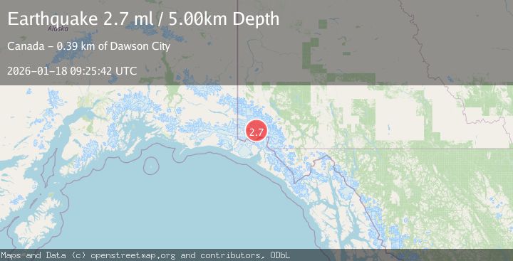
Earthquake SOUTHERN YUKON TERRITORY, CANADA
Sun, 18 Jan 2026 09:25:42 GMT
Time1 month ago
Location
60.5441, -139.8276
Depth
5.0 KM
Event Summary
A 2.7 magnitude earthquake struck on SOUTHERN YUKON TERRITORY, CANADA, at Sun, 18 Jan 2026 09:25:42 GMT. Depth: 5km. Reviewed by NEIC seismologists, this minor quake occurred at a magnitude type of ml.
Magnitude
2.7
ml
Source
NEIC
Intensity
-
Agency Reports
1 Sources| Source | Magnitude | Depth | Time |
|---|---|---|---|
| NEICPrimary | 2.7 | 5 km | 1 month ago |
Earthquake Details
AutomaticEvent IDemsc_NEIC_20260118_0000173
Tsunami PotentialNo
Magnitude Typeml
Nearest Places
- Mount King George2.6 km
- Marker Lake9.4 km
- Mount Queen Mary10.9 km
- St. Elias Mountains19.5 km
- Mount Vancouver21.8 km
Comments
Join the discussion about this event.
Latest Earthquakes
2.0Mag
Flores Sea
Time23 hours ago
Depth36.47 km
SourceBMKG
2.3Mag
Antofagasta, Chile
Time23 hours ago
Depth0.00 km
SourceVYT (Automatic)
2.0Mag
Tarapaca, Chile
Time23 hours ago
Depth9.28 km
SourceVYT (Automatic)
0.6Mag
10 km NW of The Geysers, CA
Time23 hours ago
Depth1.32 km
SourceUSGS (Automatic)
3.8Mag
northern Colombia
Time1 day ago
Depth301.88 km
SourceVYT (Automatic)
Nearby Earthquakes
4.0Mag
SOUTHERN YUKON TERRITORY, CANADA
Time2 months ago
Depth5.00 km
SourceAK (Automatic)
2.7Mag
SOUTHERN YUKON TERRITORY, CANADA
Time1 month ago
Depth5.00 km
SourceCN (Automatic)
3.3Mag
SOUTHERN YUKON TERRITORY, CANADA
Time1 month ago
Depth9.80 km
SourceNEIC (Automatic)
3.2Mag
SOUTHERN YUKON TERRITORY, CANADA
Time1 month ago
Depth5.00 km
SourceNEIC (Automatic)
4.4Mag
SOUTHERN YUKON TERRITORY, CANADA
Time3 weeks ago
Depth5.00 km
SourceAK (Automatic)