Earthquake SOUTHERN ALASKA
Mon, 19 Jan 2026 23:39:48 GMT
Time0 months ago
Location
60.0031, -141.5925
Depth
18.7 KM
Event Summary
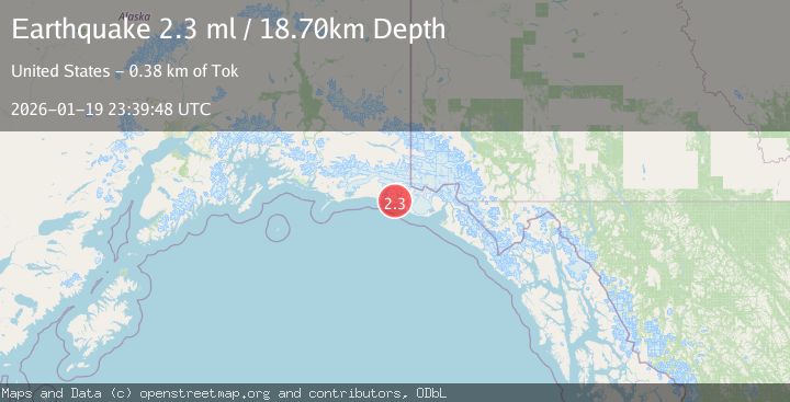
A 2.3 magnitude earthquake struck on SOUTHERN ALASKA, at Mon, 19 Jan 2026 23:39:48 GMT. Depth: 18.7km. Reviewed by NEIC seismologists, this minor quake occurred at a magnitude type of ml.
Magnitude
2.3
ml
Source
NEIC
Intensity
-
Agency Reports
1 Sources| Source | Magnitude | Depth | Time |
|---|---|---|---|
| NEICPrimary | 2.3 | 19 km | 0 months ago |
Earthquake Details
AutomaticEvent IDemsc_NEIC_20260119_0000333
Tsunami PotentialNo
Magnitude Typeml
Nearest Places
- Claybluff Point4.3 km
- Carson Creek4.3 km
- Icy Bay Airport4.8 km
- Crystal Creek5.3 km
- Watson Creek6.3 km
Comments
Join the discussion about this event.
Latest Earthquakes
2.4Mag
Finland
Time2 minutes ago
Depth301.88 km
SourceVYT (Automatic)
1.2Mag
Alaska Peninsula
Time3 minutes ago
Depth0.12 km
SourceVYT (Automatic)
4.1Mag
NEAR COAST OF NORTHERN PERU
Time8 minutes ago
Depth35.00 km
SourceLIM (Automatic)
3.1Mag
DODECANESE IS.-TURKEY BORDER REG
Time9 minutes ago
Depth4.10 km
SourceKOERI (Automatic)
2.6Mag
NEAR COAST OF NICARAGUA
Time14 minutes ago
Depth38.00 km
SourceINET (Automatic)
Nearby Earthquakes
3.0Mag
SOUTHERN ALASKA
Time7 years ago
Depth6.00 km
SourceNEIR (Automatic)
2.1Mag
111 km WNW of Yakutat, Alaska
Time3 weeks ago
Depth8.00 km
SourceUSGS (Automatic)
3.0Mag
SOUTHEASTERN ALASKA
Time7 years ago
Depth6.00 km
SourceNEIR (Automatic)
2.8Mag
Southeastern Alaska
Time3 days ago
Depth0.00 km
SourceVYT (Automatic)
2.0Mag
121 km WNW of Yakutat, Alaska
Time1 week ago
Depth16.20 km
SourceUSGS (Automatic)