Earthquake 111 km WNW of Yakutat, Alaska
Fri, 23 Jan 2026 22:49:32 GMT
Time3 days ago
Location
60.0120, -141.4880
Depth
8.0 KM
Event Summary
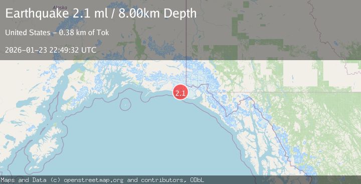
A 2.1 magnitude earthquake struck on 111 km WNW of Yakutat, Alaska, at Fri, 23 Jan 2026 22:49:32 GMT. Depth: 8km. Reviewed by USGS seismologists, this minor quake occurred at a magnitude type of ml.
Magnitude
2.1
ml
Source
USGS
Intensity
-
Agency Reports
1 Sources| Source | Magnitude | Depth | Time |
|---|---|---|---|
| USGSPrimary | 2.1 | 8 km | 3 days ago |
Earthquake Details
AutomaticEvent IDusgs_ak2026bqdjoh
Tsunami PotentialNo
Magnitude Typeml
Nearest Places
- Carson Creek3.2 km
- Independence Creek3.9 km
- Icy Bay6.9 km
- Kichyatt Point7.1 km
- Tsaa Fiord7.2 km
Comments
Join the discussion about this event.
Latest Earthquakes
2.7Mag
Northern Molucca Sea
Time2 minutes ago
Depth29.69 km
SourceBMKG (Automatic)
2.6Mag
Northern Sumatra, Indonesia
Time7 minutes ago
Depth0.60 km
SourceBMKG (Automatic)
2.1Mag
SOUTHERN TEXAS
Time8 minutes ago
Depth0.00 km
SourceTX (Automatic)
3.8Mag
ATACAMA, CHILE
Time15 minutes ago
Depth98.00 km
SourceCSN (Automatic)
0.9Mag
EASTERN TURKEY
Time15 minutes ago
Depth6.80 km
SourceAFAD (Automatic)
Nearby Earthquakes
2.6Mag
96 km WNW of Yakutat, Alaska
Time5 days ago
Depth4.10 km
SourceUSGS (Automatic)
2.2Mag
110 km NW of Yakutat, Alaska
Time3 days ago
Depth16.90 km
SourceUSGS (Automatic)
0.8Mag
120 km NW of Yakutat, Alaska
Time3 days ago
Depth5.00 km
SourceUSGS (Automatic)
1.0Mag
127 km NW of Yakutat, Alaska
Time21 hours ago
Depth19.90 km
SourceUSGS (Automatic)
3.2Mag
SOUTHEASTERN ALASKA
Time1 day ago
Depth6.70 km
SourceAK (Automatic)