Earthquake MORO GULF, MINDANAO, PHILIPPINES
Wed, 21 Jan 2026 02:37:52 GMT
Time1 month ago
Location
6.3030, 123.6599
Depth
10.0 KM
Event Summary
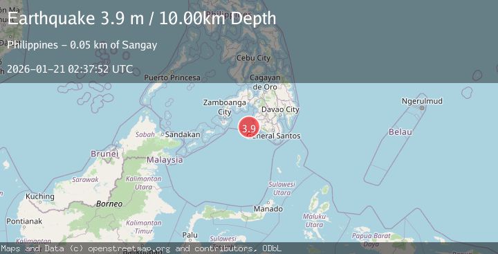
A 3.9 magnitude earthquake struck on MORO GULF, MINDANAO, PHILIPPINES, at Wed, 21 Jan 2026 02:37:52 GMT. Depth: 10km. Reviewed by NEIC seismologists, this minor quake occurred at a magnitude type of m.
Magnitude
3.9
m
Source
NEIC
Intensity
-
Agency Reports
1 Sources| Source | Magnitude | Depth | Time |
|---|---|---|---|
| NEICPrimary | 3.9 | 10 km | 1 month ago |
Earthquake Details
AutomaticEvent IDemsc_NEIC_20260121_0000048
Tsunami PotentialNo
Magnitude Typem
Nearest Places
- 43.7 km
- 43.7 km
- 43.8 km
- 44.4 km
- 44.5 km
Comments
Join the discussion about this event.
Latest Earthquakes
1.8Mag
Southern Alaska
Time3 minutes ago
Depth10.00 km
SourceVYT (Automatic)
2.8Mag
Atacama, Chile
Time15 minutes ago
Depth10.13 km
SourceVYT (Automatic)
1.6Mag
Greater Los Angeles area, California
Time16 minutes ago
Depth16.60 km
SourceVYT (Automatic)
1.6Mag
Kenai Peninsula, Alaska
Time19 minutes ago
Depth3.17 km
SourceVYT (Automatic)
3.1Mag
Papua region, Indonesia
Time19 minutes ago
Depth56.88 km
SourceVYT (Automatic)
Nearby Earthquakes
3.0Mag
MORO GULF, MINDANAO, PHILIPPINES
Time1 week ago
Depth23.00 km
SourcePIVS (Automatic)
4.4Mag
Mindanao, Philippines
Time3 weeks ago
Depth10.00 km
SourceBMKG (Automatic)
4.4Mag
MORO GULF, MINDANAO, PHILIPPINES
Time1 month ago
Depth9.70 km
SourceNEIC (Automatic)
3.0Mag
MORO GULF, MINDANAO, PHILIPPINES
Time1 month ago
Depth15.00 km
SourcePIVS (Automatic)
4.5Mag
MORO GULF, MINDANAO, PHILIPPINES
Time1 month ago
Depth10.00 km
SourceNEIC (Automatic)