Earthquake MORO GULF, MINDANAO, PHILIPPINES
Thu, 22 Jan 2026 20:06:25 GMT
Time1 month ago
Location
6.3270, 123.6822
Depth
10.0 KM
Event Summary
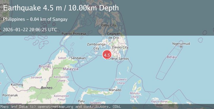
A 4.5 magnitude earthquake struck on MORO GULF, MINDANAO, PHILIPPINES, at Thu, 22 Jan 2026 20:06:25 GMT. Depth: 10km. Reviewed by NEIC seismologists, this light quake occurred at a magnitude type of m.
Magnitude
4.5
m
Source
NEIC
Intensity
-
Agency Reports
1 Sources| Source | Magnitude | Depth | Time |
|---|---|---|---|
| NEICPrimary | 4.5 | 10 km | 1 month ago |
Earthquake Details
AutomaticEvent IDemsc_NEIC_20260122_0000448
Tsunami PotentialNo
Magnitude Typem
Nearest Places
- 40.2 km
- 40.4 km
- 40.6 km
- 41.2 km
- 41.3 km
Comments
Join the discussion about this event.
Latest Earthquakes
2.2Mag
Southern California
Time2 minutes ago
Depth1.59 km
SourceVYT (Automatic)
3.8Mag
North of Halmahera, Indonesia
Time5 minutes ago
Depth37.89 km
SourceBMKG
2.3Mag
Tarapaca, Chile
Time6 minutes ago
Depth128.05 km
SourceVYT (Automatic)
1.2Mag
Southeastern Alaska
Time8 minutes ago
Depth0.00 km
SourceVYT (Automatic)
2.3Mag
134 km E of Chignik, Alaska
Time11 minutes ago
Depth53.90 km
SourceUSGS (Automatic)
Nearby Earthquakes
3.0Mag
MORO GULF, MINDANAO, PHILIPPINES
Time1 month ago
Depth5.00 km
SourcePIVS (Automatic)
3.9Mag
MORO GULF, MINDANAO, PHILIPPINES
Time1 month ago
Depth10.00 km
SourceNEIC (Automatic)
3.0Mag
MORO GULF, MINDANAO, PHILIPPINES
Time1 week ago
Depth23.00 km
SourcePIVS (Automatic)
3.7Mag
MORO GULF, MINDANAO, PHILIPPINES
Time3 weeks ago
Depth10.00 km
SourceNEIC (Automatic)
5.3Mag
MORO GULF, MINDANAO, PHILIPPINES
Time3 weeks ago
Depth25.00 km
SourcePIVS (Automatic)