Earthquake MORO GULF, MINDANAO, PHILIPPINES
Mon, 09 Feb 2026 10:44:04 GMT
Time1 hour ago
Location
6.3200, 123.6500
Depth
23.0 KM
Event Summary
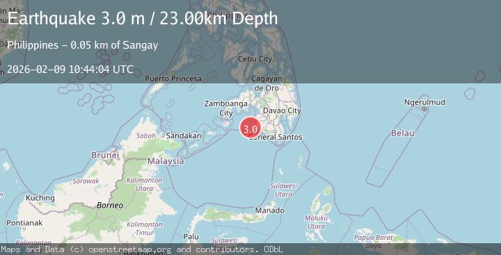
A 3.0 magnitude earthquake struck on MORO GULF, MINDANAO, PHILIPPINES, at Mon, 09 Feb 2026 10:44:04 GMT. Depth: 23km. Reviewed by PIVS seismologists, this minor quake occurred at a magnitude type of m.
Magnitude
3.0
m
Source
PIVS
Intensity
-
Agency Reports
1 Sources| Source | Magnitude | Depth | Time |
|---|---|---|---|
| PIVSPrimary | 3.0 | 23 km | 1 hour ago |
Earthquake Details
AutomaticEvent IDemsc_PIVS_20260209_0000148
Tsunami PotentialNo
Magnitude Typem
Nearest Places
- Donaung Shoals43.6 km
- Donauang Island44.0 km
- Sangay Point44.3 km
- Danawan Point44.8 km
- Basiauang Bay44.9 km
Comments
Join the discussion about this event.
Latest Earthquakes
3.2Mag
SALTA, ARGENTINA
Time1 hour ago
Depth253.10 km
SourceCSN (Automatic)
1.8Mag
9 km ENE of Calumet, Oklahoma
Time1 hour ago
Depth4.50 km
SourceUSGS (Automatic)
2.9Mag
NEAR N COAST OF PAPUA, INDONESIA
Time1 hour ago
Depth10.00 km
SourceBMKG (Automatic)
2.9Mag
West Papua Region, Indonesia
Time1 hour ago
Depth10.00 km
SourceBMKG (Automatic)
1.7Mag
60 km N of Chase, Alaska
Time2 hours ago
Depth81.80 km
SourceUSGS (Automatic)
Nearby Earthquakes
5.3Mag
MORO GULF, MINDANAO, PHILIPPINES
Time1 week ago
Depth25.00 km
SourcePIVS (Automatic)
4.4Mag
Mindanao, Philippines
Time1 week ago
Depth10.00 km
SourceBMKG (Automatic)
3.4Mag
MORO GULF, MINDANAO, PHILIPPINES
Time2 weeks ago
Depth23.00 km
SourcePIVS (Automatic)
3.3Mag
MORO GULF, MINDANAO, PHILIPPINES
Time2 weeks ago
Depth4.00 km
SourcePIVS (Automatic)
3.0Mag
MORO GULF, MINDANAO, PHILIPPINES
Time1 week ago
Depth16.00 km
SourcePIVS (Automatic)