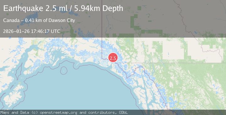
Earthquake SOUTHERN YUKON TERRITORY, CANADA
Mon, 26 Jan 2026 17:46:17 GMT
Time17 hours ago
Location
60.3777, -139.4009
Depth
5.9 KM
Event Summary
A 2.5 magnitude earthquake struck on SOUTHERN YUKON TERRITORY, CANADA, at Mon, 26 Jan 2026 17:46:17 GMT. Depth: 5.9km. Reviewed by NEIC seismologists, this minor quake occurred at a magnitude type of ml.
Magnitude
2.5
ml
Source
NEIC
Intensity
-
Agency Reports
1 Sources| Source | Magnitude | Depth | Time |
|---|---|---|---|
| NEICPrimary | 2.5 | 6 km | 17 hours ago |
Earthquake Details
AutomaticEvent IDemsc_NEIC_20260126_0000325
Tsunami PotentialNo
Magnitude Typeml
Nearest Places
- Hubbard Glacier4.0 km
- Hubbard Glacier7.3 km
- Icefield Ranges14.0 km
- Alverstone Glacier14.8 km
- Mount Vancouver16.5 km
Comments
Join the discussion about this event.
Latest Earthquakes
2.3Mag
Java, Indonesia
Time17 hours ago
Depth18.93 km
SourceBMKG (Automatic)
1.1Mag
6 km NW of The Geysers, CA
Time17 hours ago
Depth2.49 km
SourceUSGS (Automatic)
2.5Mag
Flores Sea
Time17 hours ago
Depth38.21 km
SourceBMKG (Automatic)
3.5Mag
SOUTH ISLAND OF NEW ZEALAND
Time17 hours ago
Depth15.20 km
SourceGNS (Automatic)
4.9Mag
CARLSBERG RIDGE
Time17 hours ago
Depth10.00 km
SourceNEIC (Automatic)
Nearby Earthquakes
4.4Mag
SOUTHERN YUKON TERRITORY, CANADA
Time2 days ago
Depth5.00 km
SourceAK (Automatic)
0.9Mag
88 km NNW of Yakutat, Alaska
Time3 days ago
Depth36.90 km
SourceUSGS (Automatic)
2.5Mag
134 km N of Yakutat, Alaska
Time1 week ago
Depth8.60 km
SourceUSGS
3.9Mag
SOUTHEASTERN ALASKA
Time3 days ago
Depth5.00 km
SourceAK (Automatic)
1.6Mag
102 km NW of Yakutat, Alaska
Time1 day ago
Depth15.10 km
SourceUSGS (Automatic)